Remote sensors are increasingly being employed in several important industries. This article will discuss the use of remote sensing to map land and cover changes in mining.
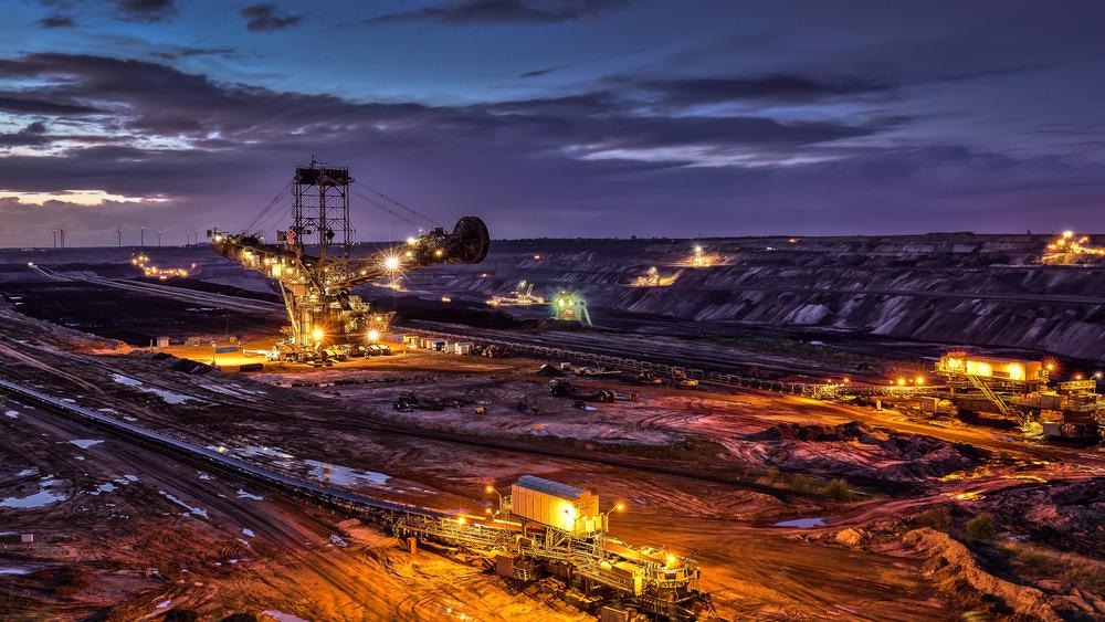
Image Credit: videomundum/Shutterstock.com
Using Remote Sensors in the Mining Industry
Remote sensors are increasingly being employed in multiple industries, including the mining sector. They have been implemented in mapping and planning mines and helping to inform safety protocols and automation efforts, creating more connected sustainable mining operations. They are also used to provide data integral to the exploitation of dwindling resources.
Types of remote sensors used in the mining industry include satellite, drone, aircraft, and land-based variants. Satellite-based systems of interest to mining include Landsat-7 and 8, ASTER, and Sentinel-2. Satellite-based remote sensing systems range from very high to low resolution, covering geographic areas from less than a meter to several hundred meters. Until it was decommissioned in 2016, Hyperion’s hyperspectral sensor equipment provided crucial data for monitoring mining operations.
Other satellite-based systems are being launched in the next few years, including EnMAP (Environmental Mapping and Analysis Program.) Types of remote sensors used across satellite, airborne, and ground-based systems include thermal infrared cameras and multi- and hype-spectral sensors. Airborne systems can be mounted on either unmanned or manned aircraft. Ground-based sensors can be either hand-held, machine-mounted, or stationary.
Remote sensors are a key technology in the shift in the mining industry toward a green future. The technology has been central to efforts to curb carbon emissions, cut pollution levels, and now, remote sensing has been implemented in efforts to map the physical impact mines are having on their surrounding environments.
Why is it Important to Map Land and Cover Changes in Mining?
While mining is one of humankind’s most important commercial activities, it has a huge problem: global mining activities cause significant ecological damage. Carbon emissions, contamination, land clearance of vital ecosystems are all harmful consequences of continued resource exploitation. Arable land and vegetation coverage are affected by opencast mining. Communities that live near mining operations are both directly and indirectly affected.
Mapping land and coverage changes that are caused by mining operations help with planning, rehabilitation efforts, and closure of mines. Data gathered by monitoring efforts helps to inform the future of mining, identify any issues, and protect vulnerable ecosystems and communities.
In all phases of mine development and operation cycles, it is vitally important to monitor and map vegetation coverage. Vegetation maps help assess the biodiversity in the area, and for this reason, they are commonly required in the planning phase of mines. They help inform the best placement of mine structures and information establishes a baseline for environmental damage. Changes in vegetation coverage during operation indicated contaminant levels. After closure, it helps inform the progress of rehabilitation and identify lingering contamination.
Vegetation stress can also be monitored using remote sensors. Stresses include the shortage or excess of water, insects, particulate and heavy metal pollution, acid rain, and mineral deficiencies. Vegetation stress leads to stunted growth, changes in leaf pigmentation and plant structure, plant death, and changes in vegetation type to more tolerant species.
Mining activities also physically change the landscape due to not just the mine itself or contamination, but also due to infrastructure and transportation of materials by heavy machinery. This can cause large physical changes in the surrounding geography in a short period of time. This can lead to erosion, land slippage, and perturbations in natural flood defense systems, affecting a wider geographic area.
Monitoring and mapping land and cover changes that are a direct or indirect result of mining activity are central to efforts to limit the damage caused. Remote sensors are playing a crucial role in these efforts.
How Do Remote Sensors Help Monitor and Map the Changes?
Sensors detect changes in targets of interest. In respect to vegetation coverage, they detect differences in the plant’s spectral reflectance characteristics, which are determined by factors such as leaf pigments and structure, the water content of leaves, and the overall structure of plant communities. Although commonly, individual plants cannot be mapped, vegetation types such as grasslands and forest types can be distinguished.
Change detection is used to map geographic changes. This is the process of identifying differences in an object (in this case geographic landforms) by comparing images over time. Changes are compared over two or more times. Aerial photography has been traditionally used to map land changes, but remote sensing is providing more accurate and dynamic information on changes in land coverage over time.
Mapping Land Coverage and Using Geospatial Indices: A Case Study
In a 2021 study, published in the Journal of African Earth Sciences, a team utilized remote sensing to map and quantify land cover changes over time in the Welkom-Virginia Goldfields in South Africa. The study analyzed Landsat images from 1988-2018 with 5-year intervals.
The study used geospatial indices including the Normalized Difference Vegetation Index (NDVI), Global Environmental Monitoring Index (GEMI), and the Normalized Difference Water Index (NDWI) to discriminate between the different types of land cover. By using the maximum likelihood method, a statistical method that estimates the parameters of an assumed probability distribution based on observed data, along with supervised classification, the images were classified into appropriate classes.
Results of the study indicated that the indices were reliable for mapping and monitoring the changes in land use and cover changes associated with mining. Accuracy was extremely high, up to 96%. Mapping land and usage changes using satellite-based remote sensing and geospatial indices will help monitor the effects of mining on both natural ecosystems and urban/residential areas.
The Future of Mining
Mining is a vital economic activity but growing awareness of its ecological impact is a cause for concern. Using remote sensors to map and monitor land and cover changes will inform the future of sustainable mining, from planning to closure and remediation. As technology progresses, so will the ability of mining companies and government organizations to construct a greener mining industry.
References and Further Reading
Davids, C & Rouyet, L (2018) Remote Sensing for the Mining Industry – Review Report [online] Northern Research Institute. Available at: https://www.oulu.fi/fi
Madas, A, Orimoloye, I, & Ololade, O. (2021) Application of geospatial indices for mapping land cover/use change detection in a mining area | Journal of African Earth Studies 175:104108 [online] sciencedirect.com. Available at: https://www.sciencedirect.com/science/article/abs/pii/S1464343X21000091?via%3Dihub
MDPI (2020) Special Issue: Remote Sensing of Opencast Mining Land Use and Land Cover for Planning, Rehabilitation, and Closure [online] MDPI.com. Available at: https://www.mdpi.com/journal/remotesensing/special_issues/RS_vegetation_opencast
Disclaimer: The views expressed here are those of the author expressed in their private capacity and do not necessarily represent the views of AZoM.com Limited T/A AZoNetwork the owner and operator of this website. This disclaimer forms part of the Terms and conditions of use of this website.