Geographic information systems (GIS) are spatial systems that have been specifically designed to create, manage, analyze, and map a variety of data. These systems connect and integrate data from various sources to locate where things are and describe what they are or what state they are in. Essentially, GIS is a framework that can collect, store, analyze, and display spatial data for various applications.
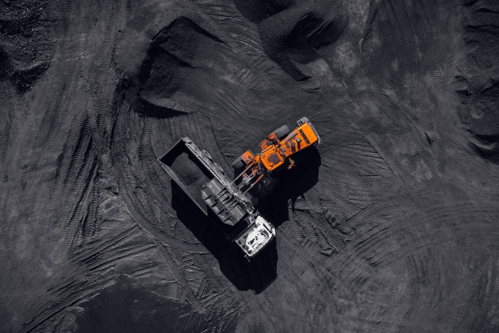
Image Credit: Parilov/Shutterstock.com
The mining industry utilizes GIS in a wide range of applications. So far, the leverage of GIS in mining has resulted in the effective and optimal design of the mine development process.
GIS has helped the mining industry use science to understand patterns and relationships within complex datasets in a geographical context. This has facilitated better decision-making within the sector.
Here, we discuss the use of GIS in the various applications of mineral exploration, geochemical and hydrology data, report generation, facility and tailings management, and sustainability and regulatory compliance.
Mineral Exploration
Mineral exploration and extraction rely heavily on spatial data.
Most mines cover vast expanses of land and require access to location-based data to inform their mineral exploration missions.
GIS technology facilitates mineral exploration via gathering, storing, and providing access to large spatial datasets.
GIS collects information on the spatial location of various minerals and uses it to guide mining experts on where best to focus their efforts. As a result, GIS can reduce costs and increase the efficacy of mining operations.
Geochemical and Hydrology Data
Mines are a significant source of pollution to the local environment. It is the responsibility of mining companies to ensure that their operations do not contaminate the local water, air and land.
Pollution transport in soil is a significant problem contributing to mining pollution, and it is heavily associated with local hydrological characteristics.
GIS collects and analyzes data on the spatial variations of heavy metal enrichments in local soils, helping mining companies understand the extent of leaching occurring in the surrounding area. This data can help guide decisions regarding the mitigation of pollution.
GIS is also being used to generate geochemical datasets by quantifying changes in the environment's trace metals. This information further assists mining companies in understanding the extent of environmental pollution.
Report Generation
GIS gives mining experts access to a wealth of data. It offers the opportunity to generate rich reports on mining factors. This data can help mining companies understand different areas of their operations, helping to streamline their processes and reduce their environmental impact.
Facility and Tailings Management
In the US alone, the mining industry generates 1.8 billion tons of mineral processing waste each year. Worldwide, thousands of mine tailings dams exist, holding massive volumes of toxic mining waste.
Mining companies face increasing pressure to improve their waste management processes and are often thought of as being just as much waste-management companies as they are mining companies.
The current system of holding waste in tailings dams is inefficient, but it is risky, as demonstrated by the tailings dam failure at the Brumadinho Córrego do Feijão iron-ore mine in Brazil. In 2019, Brazil suffered its worst-ever industrial accident. It sent millions of tons of toxic waste flowing into the surrounding rural area, destroying the village of Feijão and killing 270 people.
A GIS-based tailings spill-path model was developed to help mining companies map out and quantity the potential danger their tailings dams pose. These numerical models successfully carry out risk assessments of tailing dams and will likely be implanted more widely across the industry to increase safety.
Sustainability and Regulatory Compliance
Mining operations are intertwined with various social, economic and environmental aspects of the areas that they occupy. They provide jobs and sources of wealth but also pose health risks to the neighboring people and the environment. They are, therefore, deeply ingrained in sustainability issues.
Regulatory bodies are becoming more focused on managing the mining industry's sustainability, and new regulations are often implemented to address sustainability issues. In the US, changes to the regulatory framework that governs the mining industry are being made to tackle economic, environmental and social factors so that a more sustainable mining landscape can be achieved.
Decisions made around the development of new regulations are influenced by data, and GIS is being used to collect and analyze data relating to sustainability. This information is then considered in the decision-making processes associated with establishing new regulations. GIS is becoming increasingly considered an essential tool for forging more sustainable mining activities and ensuring that operations are compliant with regulations.
References and Further Reading
Choi, Y., Baek, J. and Park, S., 2020. Review of GIS-Based Applications for Mining: Planning, Operation, and Environmental Management. Applied Sciences, 10(7), p.2266. https://www.mdpi.com/2076-3417/10/7/2266/htm
Craynon, J., Sarver, E., Ripepi, N. and Karmis, M., 2015. A GIS-based methodology for identifying sustainability conflict areas in mine design – a case study from a surface coal mine in the USA. International Journal of Mining, Reclamation and Environment, 30(3), pp.197-208. https://www.tandfonline.com/doi/abs/10.1080/17480930.2015.1035872
Suh, J., Kim, S., Yi, H. and Choi, Y., 2017. An Overview of GIS-Based Modeling and Assessment of Mining-Induced Hazards: Soil, Water, and Forest. International Journal of Environmental Research and Public Health, 14(12), p.1463. https://www.ncbi.nlm.nih.gov/pmc/articles/PMC5750882/
(2021). Vale dam disaster: $7bn compensation for disaster victims. [Online] BBC News. Available at: https://www.bbc.co.uk/news/business-55924743
Disclaimer: The views expressed here are those of the author expressed in their private capacity and do not necessarily represent the views of AZoM.com Limited T/A AZoNetwork the owner and operator of this website. This disclaimer forms part of the Terms and conditions of use of this website.