The demand for critical minerals such as copper, lithium, nickel, and rare earth elements is increasing as clean energy systems expand. Conventional exploration methods, such as drilling, grid surveys, and ground-based mapping, are being reassessed due to their environmental impact. Mineural’s IRIS (Intelligent Resource Identification System) uses a data-driven method that combines multiple geoscientific datasets within a single model. This integration helps identify relationships between data types that may be missed when analyzed separately, enabling more targeted exploration with reduced surface impact.1
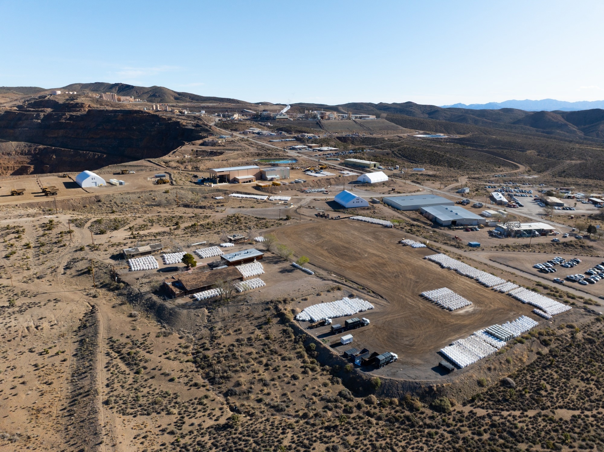
Image Credit: newsshooterguy/Shutterstock.com
This article examines how the IRIS system applies integrated data analysis to enhance mineral exploration's efficiency and environmental responsibility.
The Challenge
In conventional artificial intelligence (AI)-assisted exploration, data types such as geological maps, geophysical surveys, and geochemical assays are typically analyzed independently. Each generates its own “favorability” map, which is later combined or weighted to produce a final predictive map. While this ensemble method can provide practical results, it also has certain limitations:
- Missed interactions: Because the models do not see each other’s input, dependencies and correlations across data types can be lost.
- Manual weighting bias: Combining results often requires subjective weighting or rules, introducing bias or overfitting.
- Scalability issues: As the number of data types grows, integrating more and more separate models becomes cumbersome and less efficient.
These limitations reduce the model’s ability to learn complex patterns, often resulting in overprediction or missed targets.
IRIS’s Breakthrough: Simultaneous Multi-Modal Modeling
Mineural addresses these challenges by building one integrated neural network trained on all input data types simultaneously.
Geological features (e.g., lithology, structure), geophysical attributes (e.g., magnetic, resistivity), geochemical values, spatial/contextual layers, and other relevant inputs are all fed into a single architecture.1 Through this design:
- The model learns internal interactions and correlations across modalities—how a geochemical anomaly might correspond with a geophysical signature in a particular rock type.
- No external weighting is necessary; the model adjusts all parameters jointly to optimize performance given all data.
- It can detect exploration vectors invisible to segmented approaches, uncovering subtle, emergent signals that would otherwise go unnoticed.1
In short, IRIS treats the entire dataset as a unified whole, not as fragmented pieces to be stitched together after separate analysis.
Sustainability Advantages: Fewer Drills, Less Disturbance
The integration capabilities of IRIS translate directly into more sustainable exploration:
- Smaller exploration footprints
Because IRIS yields discrete, high-confidence targets rather than diffuse “hot zones,” exploration can focus on a smaller area. That means fewer lines of geophysics, fewer drill pads, and less ecosystem disruption.
- Reduced greenhouse gas emissions
With narrower target zones, IRIS may save thousands of liters of fuel and reduce carbon dioxide (CO2) emissions, based on industry averages for similar AI-driven exploration.
- Lower financial and capital risk
Earlier identification of promising targets shortens the time spent exploring blind ground. This reduces capital tied up in low-probability plays and allows quicker iteration cycles.
- Better use of existing data
IRIS augments proprietary exploration datasets with publicly available data layers (e.g., regional geophysics, geochemistry). This reduces redundant data collection and helps maximize the value of legacy surveys.1
Therefore, IRIS helps exploration companies strike a better balance between discovery potential and environmental stewardship.
Technical Foundations and Model Training
IRIS was commercialized by Mineural (founded ~2023). The company emphasizes that the core innovation lies less in each data-type model than in their synergistic co-training in a unified architecture.1
During training, IRIS ingests all available feature layers across the study area. It iteratively adjusts internal weights to minimize prediction error on known deposit or index sites. Because the entire system is differentiable, interactions between modalities (for example, a geophysical signal being meaningful only in specific lithologies) are automatically learned rather than hand-coded.
This approach is consistent with arguments for scale-consistent integration; ensuring reliability requires that different geoscience datasets be merged at comparable scales and analyzed in collocated ways, avoiding ad hoc scaling or interpolation artifacts. By embracing this principle, IRIS mitigates errors introduced by scaling mismatches or manual combination heuristics.
Click here to download a PDF copy of this page
Use Cases and Results to Date
Although detailed case studies remain proprietary, Mineural’s service model applies IRIS across scales, from the property level to the regional scale, and to any commodity.1 The company states that IRIS is “commodity agnostic” and can generate targets for critical metals such as lithium, copper, nickel, and rare earths.
IRIS can reduce time and cost associated with early-stage drilling by focusing exploration on higher-probability zones. More broadly, AI-led discovery tools can help shorten exploration cycles, improve target precision, and reduce financial risk when implemented effectively.
Limitations, Risks, and Path Forward
Although IRIS represents a meaningful technical development in mineral exploration, several considerations remain important.
The reliability of its results depends on the quality, consistency, and completeness of the input data; limited or uneven datasets can constrain predictive accuracy. Neural networks that combine multiple data types can be challenging to interpret, making transparency and the involvement of domain experts necessary for reliable results.
The method also requires significant computing power for large or high-resolution datasets, which can limit scalability.
Field validation remains essential—IRIS predictions can help prioritize exploration, but cannot replace direct sampling or drilling.
Mineural aims to extend the system to include additional data sources such as remote sensing and hyperspectral imagery. Continued testing through real-world projects and collaboration between geoscientists and data analysts will help evaluate and improve the system’s performance.
Outlook
Mineural’s IRIS provides a structured and data-driven approach to mineral exploration. By combining multiple datasets within a single model, it identifies relationships that separate analyses might overlook. This integration supports more focused targeting, reduced field activity, and improved exploration efficiency.
Although field verification remains necessary, IRIS illustrates how integrated analytical systems can enhance human judgment in locating the minerals needed for sustainable energy development.
References and Further Reading
- Mineural Inc. (2024). Our Service – IRIS (Intelligent Resource Identification System). https://www.mineural.ca/en/our-service/
Disclaimer: The views expressed here are those of the author expressed in their private capacity and do not necessarily represent the views of AZoM.com Limited T/A AZoNetwork the owner and operator of this website. This disclaimer forms part of the Terms and conditions of use of this website.