In a recent article published in Scientific Reports, researchers focused on advancing gold exploration in the Gabal Abu Karahish and Gabal Semna regions within Egypt's Central Eastern Desert.
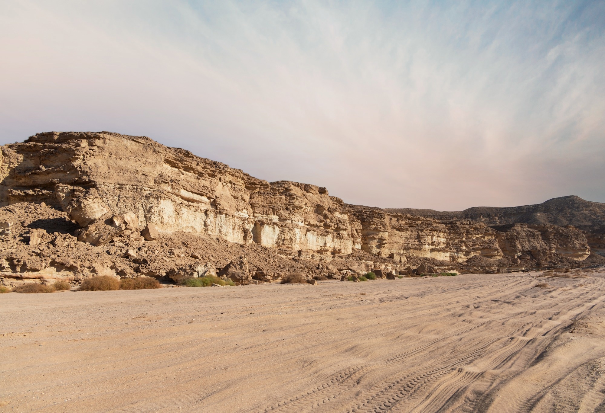
Image Credit: hemro/Shutterstock.com
Background
The geological setting of the study area is distinguished by complex tectonic histories and a variety of rock types associated with mineralization processes.
The region's basement comprises metavolcanic rocks, serpentinites, intrusions like granitoids, and younger volcanic formations, all subjected to high degrees of deformation.
Hydrothermal activity linked to geodynamic processes such as metamorphism and subduction-related magmatism has facilitated the migration of mineral-bearing fluids along prevalent structural pathways like faults and shear zones.
Gold deposits in similar settings are often encapsulated within alteration zones containing characteristic minerals such as chlorite, sericite, kaolinite, and iron oxides, which serve as mineralogical indicators of ore-forming processes.
These alteration zones typically host sulfide-rich quartz veins and breccias with distinctive textures, reflecting complex crack-seal mechanisms driven by late-stage brittle-ductile deformation events that date back approximately 550 million years.
The identification and mapping of such zones are crucial for targeted exploration, especially in terrains where traditional prospecting is impeded by vegetation or inaccessible areas.
Remote sensing has been demonstrated as an effective tool in previous regional assessments for their ability to detect mineral signatures, structural features, and lithological variations remotely and efficiently.
The Current Study
The research employed a multi-disciplinary approach integrating remote sensing, field geology, SEM microanalysis, and geochemical techniques. Satellite data from ASTER offers six SWIR bands suitable for mineral discrimination, and Landsat-9, providing complementary VNIR and SWIR imagery, formed the basis for initial mapping. These images were processed through band ratio techniques—specifically ratios such as 7/6, 4/6, and 9/8, which enhance the visibility of alteration minerals—and was further supplemented by false-color composites to delineate lithological units and alteration zones. Automating lineament extraction from satellite images enabled the evaluation of structural controls over mineralization processes.
Fieldwork involved ground-truthing the interpreted satellite data, collecting rock samples from identified alteration zones, and conducting petrographic assessments alongside SEM analysis. The SEM examinations aimed to chemically confirm the presence of gold and related minerals within the samples, providing quantitative data on gold concentrations and mineral assemblages. This multi-layered methodology aimed to cross-validate remote sensing interpretations with direct geological and mineralogical evidence, thus increasing the reliability of the exploration model.
Results and Discussion
The satellite imagery analysis successfully identified several alteration zones classified as argillic, phyllic, and propylitic, each associated with specific mineral assemblages such as chlorite, calcite, kaolinite, sericite, and iron oxides. These zones were spatially correlated with structural features like lineaments and shear zones, which serve as pathways for mineralizing fluids. The structural complexity, characterized by listed fault and shear zones, significantly influenced mineral deposition and localization of alteration zones. Detailed field verification verified the satellite-based predictions, with samples exhibiting characteristic mineralogy of alteration zones known to host gold deposits.
SEM analysis of ten representative samples confirmed the presence of gold within these zones, revealing concentrations ranging from 0.23 to 0.83 grams per 50 grams of rock powder. The mineralogical assemblage in the samples highlighted quartz veins, sulfides, and alteration minerals indicative of ore-forming processes.
Textural analysis suggested a late-stage brittle-ductile deformation event, which caused fracturing and subsequent mineral infillings compatible with the crack-seal mechanisms observed in similar gold deposits worldwide. These features underscore the importance of structural control and hydrothermal activity in localizing mineralization.
The geological framework revealed a diverse lithology, consisting of metavolcanic rocks, serpentinites, granodiorites, and intrusions such as tonalite and younger granitoids. The distribution of alteration minerals and mineralized zones aligned with specific structural and lithological settings, forming a coherent model for prospective exploration. The combined remote sensing and microanalytical data strongly suggest that the identified alteration zones are promising targets for further exploration, with SEM-confirmed gold content supporting their mineral potential.
Conclusion
This comprehensive study demonstrates that integrated remote sensing, field confirmation, and microanalytical techniques can effectively delineate hydrothermal alteration zones associated with gold mineralization in complex terrains like Egypt’s Eastern Desert. The combined use of ASTER and Landsat-9 imagery enhances lithological and structural mapping, while SEM analysis validates the mineralogical and geochemical features indicative of gold deposits.
The identified alteration zones, characterized by specific mineral assemblages and structural controls, show considerable potential for hosting gold deposits, as confirmed by quantum analyses revealing significant gold values.
The findings reinforce the significance of structural features such as faults and shear zones in mineralization processes and highlight the value of remote sensing as an early, cost-effective exploration tool, especially in inaccessible terrains.
The results provide a refined geological framework to guide future detailed exploration and confirm that a multidisciplinary approach can substantially improve the region's success rate in gold exploration projects. Ultimately, this integrative methodology offers a robust model for mineral exploration in similar geological settings worldwide.
Source:
Hegab M.A.R., Salem S.M., et al. (2025). Gold exploration in the Gabal Abu Karahish area, Central Eastern Desert, Egypt: an integrated geological perspective. Scientific Reports 15, 19730. DOI: 10.1038/s41598-025-04496-1, https://www.nature.com/articles/s41598-025-04496-1