Image Credit: FCG/Shutterstock.com
Panoro and the Japan Oil, Gas and Metals National Corporation (JOGMEC)—the company’s Joint Venture Partner—have signed an agreement for an exploration investment program, slated to be completed before Q4 2020. The exploration program will include:
JOGMEC will fully fund the planned work program in accordance with the Joint Venture agreement reported in October 2018.
Panoro has been working in close collaboration with private landowners and the local communities to fulfill the required agreements and environmental studies, which are part of the permitting process in Q1 2020. The mapping, geophysical, and geochemistry programs are planned to commence once the permits are completed, with the drilling planned to start in Q3 2020.
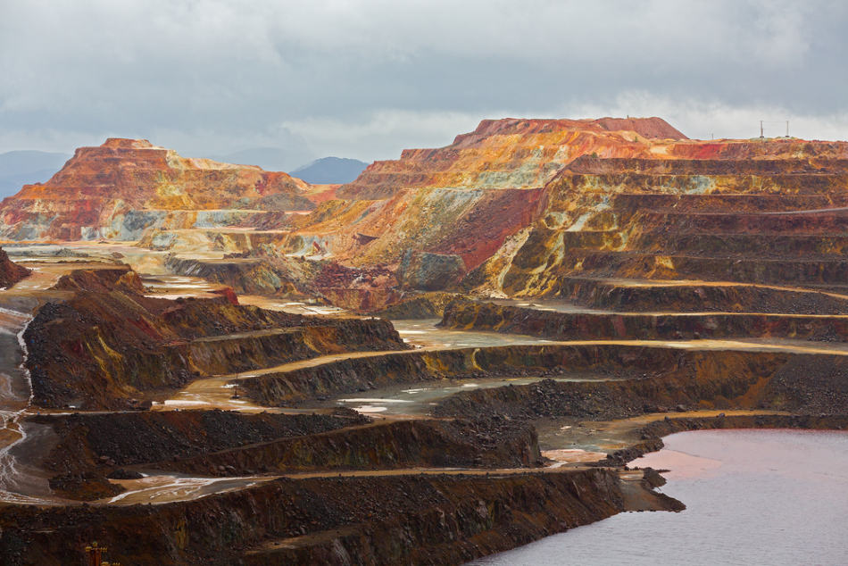
Humamantata Property
Covering an area of 3,600 hectares, the Humamantata Property is situated in Southern Peru along with the Cotabambas and Antilla Projects—advanced stage projects of Panoro. The Humamantata Project is also located close to operational copper mines like the Constancia Mine owned by Hudbay and the Kusiorcco Project in which Panoro has a 2% NSR Royalty. The Kusiorcco Project is also being advanced by Hudbay.
The exploration work completed by Panoro in Humamantata includes geochemistry surveys, geologic mapping at 1:5,000 and 1:10,000 scale, ground Magnetometry and Airborne Magnetometry of 80 km and K-Th spectral over the entire property.
Listed below are the different types of mineralization included in the property:
- Cu-Au Porphyry/Skarn type mineralization at the central and north areas of the property, in which a porphyry of quartzmonzonite composition is in contact with sandstones and limestones of the Mara and Ferrobamba formations, respectively. The copper hypogene mineralization is formed of bornite, chalcopyrite, quartz, and pyrite stockwork attributed to potassic and phyllic alteration. There is a considerable expansion of supergene environment, leading to an increase in the metal concentration close to the surface.
- Hydrothermal breccias/mantos with Pb-Ag and Zn anomalous in limestones and sandstones in the central side of the property, surrounding a Cu-Au Porphyry stock associated with high magnetics anomalies.
- Wide-scale stockwork/silicification and advanced argillic alteration, in an environment that is characteristic of Epithermal-type deposits, such as Ag, Au, and Cu anomalies. The alteration/mineralization hosted in the Mara formations’ sandstone layers appears in the property’s central and southern.
The property is cross-cut from south to north by the main lithologic and structural contact, where this region is typically covered by colluvium/fluvial sediments that fill the creek.
In the central and north zones of the structural control, the Cu-Au Porphyry stocks outcrop. It is expected that it continues to be hidden to the south of the property, as indicated by high magnetics anomalies of the ground geophysics performed across the sandstone sediments.
Comprehensive mapping, sampling, and ground IP geophysics IP are vital to track the actual size of the hydrothermal system that is a part of this project.