Technological innovation is central to the success of the modern mining industry. Several advances in recent years have made mines safer, more efficient, and sustainable. The economic viability of exploiting ever-depleting resources has also improved. 3D laser mapping has emerged as a key technology, and this article will discuss its use in mining.
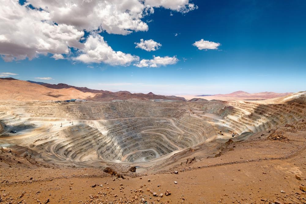
Image Credit: Jose Luis Stephens/Shutterstock.com
3D Laser Mapping: A Powerful Addition to the Surveyor’s Toolkit
Recently, there has been a revolution in surveying. Traditional surveying techniques, whilst accurate and effective for many projects, are hindered by their time-consuming nature. On large-scale projects such as mines and construction, this is a problem, as accuracy and production efficiency cannot be compromised.
3D laser mapping surveying has rapidly overtaken traditional surveying techniques in large-scale projects as it offers advantages in accuracy and speed, and can be utilized without interrupting productivity flow. A precise map of an entire mine can be built up in the space of a few hours. The 3D mapping laser scanner has become a central technology in the mining industry.
3D laser mapping utilizes lasers to capture spatial data. Millions of points are constructed in a virtual map that represents the position, shape, and spatial location of physical objects.
Latitude, longitude, and elevation coordinates are captured with unparalleled accuracy. High-speed scanners are employed to build up a 360o virtual representation of an entire environment.
Importance of 3D Laser Mapping in the Mining Industry
The modern mining industry is exploiting ever-deeper resources out of necessity. Safety and productivity are key concerns in the mining industry due to the increased danger and complexity of underground mines compared with surface operations.
Employing 3D laser scanners in underground mining operations provides engineers and mine managers with pertinent information on the mine’s status, with mass data capture capabilities able to inform them of any potential dangers.
3D Laser Mapping Mining Applications
3D laser scanners are used for several applications in mines. They are employed in production progress mapping, convergence analysis, vertical shaft inspections, to provide calculations on stockpile volumes, and analysis of shotcrete thickness.
The technology has become increasingly vital for checking the integrity of mines, providing early information on potential cave-ins and wall instabilities, and allowing early intervention to drastically improve the safety of miners and reduce economic loss from equipment damage and infrastructure loss.
Surface mapping can provide information on topology, geography, as well as data that helps monitor the environmental damage that a mine may be causing.
Various equipment such as a 3D laser mapping drone, UAVs, trolleys, poles, or autonomous vehicles can be employed for multiple applications in the mine. Data gathered using this equipment can then be converted into actionable 3D information to provide rapid real-time decision-making abilities for mine managers.
Some Companies and 3D Mapping Mining Solutions
Several companies are providing powerful 3D laser mapping capabilities for mining companies, with robust data capture and analysis that enhances real-time decision-making processes.
Mining companies in several countries have employed the services of companies working in the field of 3D laser scanning to vastly improve the safety, efficiency, productivity, and economic viability of mines.
GeoSLAM is one such company working in the 3D laser mapping sector. It has positioned itself as a market leader in the industry, with its technology designed to work in all environments.
A key benefit of the company’s technology for the mining industry is GPS-free functionality, meaning it can be used deep underground where GPS satellites cannot penetrate. Handheld LiDAR scanners and software can map three-storey structures within ten minutes with an accuracy of 15 mm.
GeoSLAM has announced a merger with 3D Laser Mapping, a company based in Nottinghamshire in the UK. 3D Laser Mapping designed the SiteMonitor system, which automatically monitors rock face and slope stability, with the ability to report data over an internet connection to anywhere in the world. Therefore, real-world monitoring can be performed remotely.
Using SiteMonitor, a digital terrain map can be generated to optimize production by continually measuring volumes, fill rate, and extraction rates.
Systems that use a mobile 3D mapping laser can be employed on automated and airborne vehicles for exploration, site surveys, and perimeter security.
Other innovations include 3DR1, a laser mapping vehicle that can be remotely controlled for use in unsafe underground environments.
The Future of 3D Laser Mapping in Mining
Mining has evolved over time. Today, innovative technologies are being widely implemented in the mining industry, significantly improving the safety, commercial viability, and productivity of modern mines whilst reducing the need for human workers to perform potentially dangerous tasks.
3D laser mapping is revolutionary, providing real-time, actionable insights into mine stability and process efficiency.
With collaborative efforts between mines and companies working in the 3D laser mapping and surveying industries, the future of technology in the mining industry will continue to be one of evolution, providing the sector with unparalleled accuracy for safe and productive mining.
References and Further Reading
Van der Merwe, J.W & Andersen, D.C. (2012) Applications and Benefits of 3D Laser Scanning for the Mining Industry The South African Institute of Mining and Metallurgy [online, conference whitepaper] saimm.co.za. Available at: https://www.saimm.co.za/Conferences/Pt2012/501-518_vdMerwe.pdf
GeoSLAM (2022) GeoSLAM for Mining [online] geoslam.com https://geoslam.com/industries/mining/
Mining Technology (2022) 3D Laser Mapping [online] mining-technology.com https://www.mining-technology.com/contractors/exploration/3d-laser-mapping
GeoSLAM (2018) 3D Laser Mapping & GeoSLAM Global Merger Announced [online] geoslam.com. Available at: https://geoslam.com/blog/2018/07/20/3d-laser-mapping-geoslam-global-merger-announced/
Disclaimer: The views expressed here are those of the author expressed in their private capacity and do not necessarily represent the views of AZoM.com Limited T/A AZoNetwork the owner and operator of this website. This disclaimer forms part of the Terms and conditions of use of this website.