Methane is the second-largest contributor to anthropogenic global warming after carbon dioxide. Its global warming potential is 36 times greater than CO2 over a century. The oil and gas sector accounts for approximately 25% of global methane emissions, primarily from leaks and intentional releases or venting during extraction, processing, and transportation.
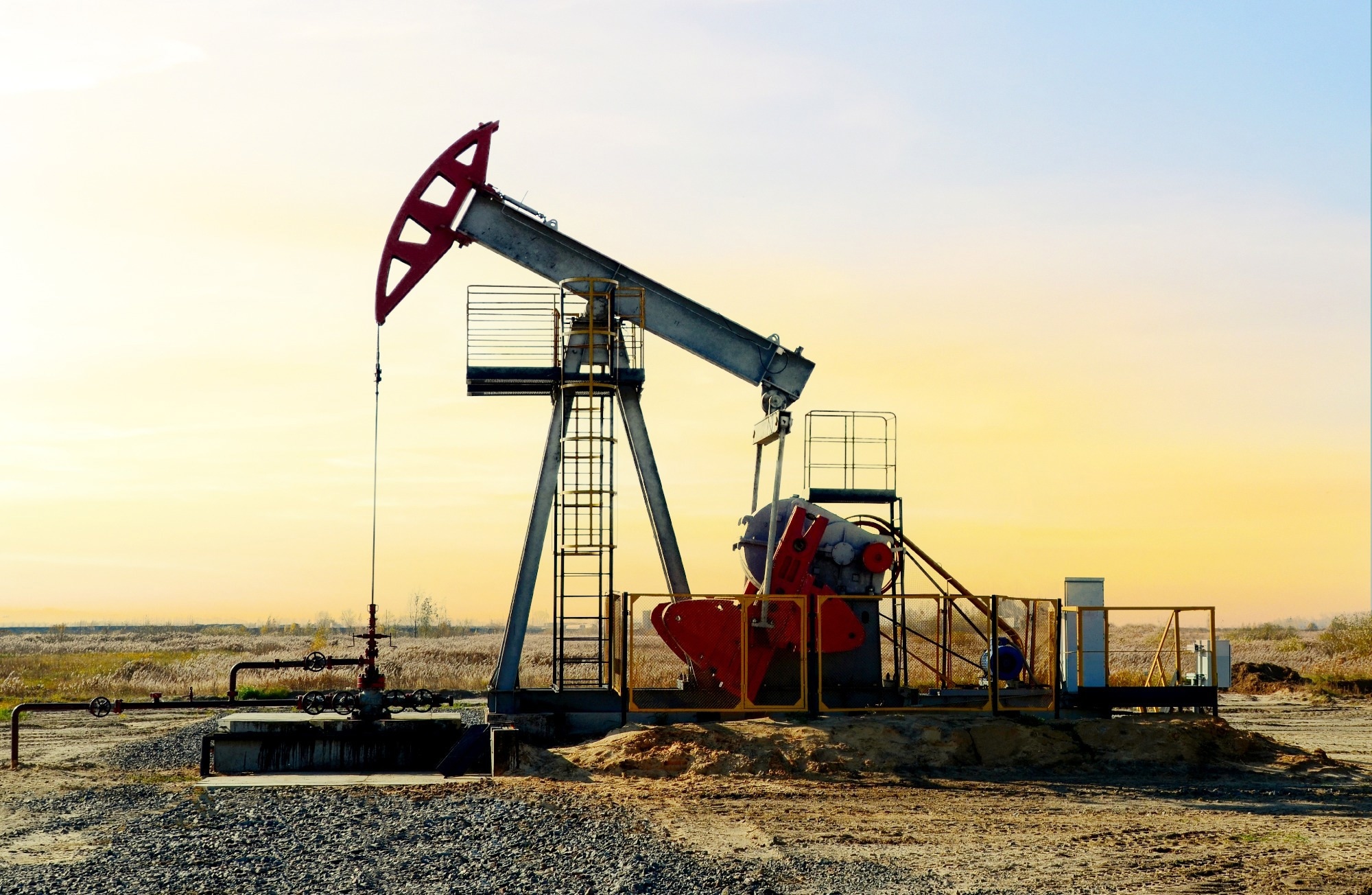
Image Credit: Maksim Safaniuk/Shutterstock.co,
Detecting these emissions has become an important environmental and economic concern, leading to advancements in technology across various fields. Early detection methods relied on manual surveys and basic tools. However, recent developments in remote sensing, artificial intelligence (AI), and continuous monitoring systems have significantly improved detection capabilities. This article explores the evolution and current status of methane detection technologies in oilfield operations.1,2
Historical Foundations and Traditional Methods of Methane Detection
The earliest methane detection in oilfields involved manual surveys using flame ionization detectors (FIDs) or catalytic sensors. These methods required close proximity to potential leak sources and relied on periodic inspections of specific components, such as valves, connectors, and tanks.
Although these approaches were cost-effective, they offered limited spatial coverage and often missed small or occasional leaks. Studies revealed that fewer than 5% of leaks accounted for over 50% of total emissions. Consequently, random manual surveys were often not statistically effective for thorough emissions mitigation in oilfield operations.2-4
Optical Gas Imaging (OGI) emerged in the 2000s as a significant advancement. Using infrared (IR) cameras, operators could visualize methane plumes as spectral distortions against background scenes.
Optical Gas Imaging (OGI) emerged in the 2000s as a notable advancement in leak detection. Utilizing infrared cameras, operators can visualize methane plumes against background scenes.
This technology became a standard method for leak detection and repair (LDAR) programs due to its ability to scan larger areas without physical contact. However, OGI is limited by reliance on human operators, challenging environmental conditions, and restricted quantification capabilities.
Research indicates that OGI's detection effectiveness significantly declines beyond 10 meters from the source. Operator fatigue and skill variability can also affect the reliability of the results.2,3
Airborne and Satellite-Based Remote Methane Sensing
Airborne and satellite-based remote sensing has transformed methane monitoring practices in the 21st century. Recently, these technologies have been increasingly employed for methane leak detection in oil fields.
Hyperspectral satellites
Hyperspectral satellites use sensors that capture hundreds of narrow spectral bands, allowing precise identification of methane absorption signatures in the shortwave infrared (SWIR) spectrum. However, the trade-off for this high spectral resolution is lower spatial resolution, ranging from 100 to 500 meters, or limited coverage due to specific tasking requirements. This makes them impractical for routine oilfield surveillance.5,6
Multispectral satellites
Multispectral satellites offer a different approach. They have broader spectral bands while achieving higher spatial resolution, between 20 and 60 meters, and a temporal resolution allowing global coverage every two to five days.
Early methods of detecting methane with multispectral sensors were often noisy and only effective at identifying significant plumes.5
A recent advancement reported in Nature Communications demonstrated a vision transformer deep-learning model that analyzed data from the multispectral satellite Sentinel-2. This model improved detection sensitivity to approximately 200 to 300 kilograms per hour, enhancing performance tenfold. This model, trained on synthetic methane plumes embedded in real atmospheric data, achieved robust detection even in complex terrains beyond deserts, such as vegetated or humid regions.5
Targeted aircraft and drone surveys
Targeted aircraft and drone surveys provide high-resolution leak mapping. These systems can quantify methane and CO2 emissions at the component level.
Manned aircraft with spectroscopic sensors, such as light detection and ranging (LiDAR), and drones such as TotalEnergies’ Airborne Ultralight Spectrometer for Environmental Applications (AUSEA) system enable detailed site monitoring.
While these airborne methods can be costly for continuous use, they validate satellite detections and help identify specific sources for repair.1,6,7
AI and Machine Learning Breakthroughs in Methane Detection
AI has transformed methane monitoring by enabling automated, high-accuracy analysis of complex data streams.
Automated OGI interpretation
Traditional IR cameras required expert review to differentiate methane plumes from background noise.
Recently, researchers from Stanford introduced GasNet, a convolutional neural network trained on the GasVid dataset, which includes 18,000 labeled methane leak videos.
GasNet achieved an accuracy of 97% in identifying leaks across various distances and environmental conditions, reducing operator subjectivity. This system was refined into VideoGasNet, which analyzes temporal plume dynamics to quantify leak rates.2,8
Plume detection and source attribution
Vision transformers (ViTs), originally developed for natural language processing, have also effectively detected weak methane signals in multispectral imagery.
Unlike convolutional neural networks, ViTs utilize self-attention mechanisms to model long-range dependencies in satellite data. This allows them to capture subtle spatial patterns of small leaks and reduce false positives compared to threshold-based methods in Sentinel-2 data analysis.5
Inventory reconciliation
AI also addresses differences between bottom-up inventories based on emission factors and top-down atmospheric measurements.
A recent study in Communications Earth & Environment examined inversion models that infer emissions from atmospheric concentration data and found that prior inventories heavily influenced their output.
ML frameworks integrate satellite data, facility-level activity records, and atmospheric transport models to provide more accurate emission baselines for regulatory compliance.9
Industry Deployments and Integrated Systems
Leading energy companies are shifting from periodic methods to continuous monitoring systems.
TotalEnergies has developed the TotalEnergies Anomalies Detection Initiative (TADI) platform, which serves as Europe’s only experimental facility for methane detection.
This initiative employs multispectral, drone-based, and fixed sensors in real-world conditions.
Since 2023, TotalEnergies has implemented continuous monitoring across all its upstream sites, aiming to almost eliminate methane emissions by 2030. Their approach combines fixed-point sensors that provide real-time alerts with drone-assisted audits, resulting in a 50% reduction in emissions ahead of schedule.1
Next-generation oilfields utilize low-cost methane sensors integrated into their infrastructure, enabling rapid leak localization through Internet of Things (IoT) data transmission.
Download your PDF copy now!
Field trials have shown a significant reduction in detection latency. Commercial satellites such as GHGSat, which achieve a resolution of 10-30 meters, and the innovative MethaneSAT are specifically designed to monitor and quantify greenhouse gas emissions from oilfields, providing critical data for environmental assessments and regulatory compliance.6,9
Emerging Trends and Research in Methane Monitoring
Current innovations are addressing key unresolved challenges in emissions monitoring. One significant issue is the presence of intermittent "super-emitters", which are brief, high-volume leaks that can represent 12-40% of emissions in oil-producing nations, often overlooked in traditional surveys. To address this, hybrid systems are being tested, which combine continuous sensors for early leak detection with drones for verification.9
Another critical area of focus is the integration of emissions monitoring with climate policy. The Global Methane Pledge, endorsed by over 150 countries, aims for a 30% reduction in methane emissions by 2030. Achieving this target necessitates the development of transparent and verifiable detection systems for accountability and international cooperation.9
Toward a Multi-Scale Detection Paradigm
Methane leak detection has evolved from reactive, localized inspections to proactive systems that use ground-based networks, drones, aircraft, and satellites.
The integration of AI has significantly improved the ability to analyze data and has addressed past issues with sensitivity and reliability.
These advancements are now essential for meeting climate goals and enhancing operational efficiency for the oil and gas industry.
Standardizing detection protocols, sharing data, and aligning innovations with global policy frameworks will be important to achieve near-zero methane emissions by 2030.
References and Further Reading
- Detecting Methane Emissions: TotalEnergies at the Forefront With TADI, the Only Experimental Platform of Its Kind in Europe. (2025). TotalEnergies.com. https://totalenergies.com/news/news/methane-emissions-detection-tadi
- Wang, J. et al. (2020). Machine vision for natural gas methane emissions detection using an infrared camera. Applied Energy, 257, 113998. DOI:10.1016/j.apenergy.2019.113998. https://www.sciencedirect.com/science/article/pii/S030626191931685X
- Datta, P. (2020). How Effective LDAR Campaigns Contribute to Minimizing Methane Emissions. In Abu Dhabi International Petroleum Exhibition & Conference. Society of Petroleum Engineers. DOI:10.2118/203169-ms. https://onepetro.org/SPEADIP/proceedings-abstract/20ADIP/20ADIP/D021S029R004/452159
- Farhan, M. A. et al. (2022). The Development of a Low-Cost Method for Monitoring Methane Leakage from the Subsurface of Natural Gas Fields. Methane, 1(1), 24-37. DOI:10.3390/methane1010003. https://www.mdpi.com/2674-0389/1/1/3
- Rouet-Leduc, B. et al. (2024). Automatic detection of methane emissions in multispectral satellite imagery using a vision transformer. Nature Communications, 15(1), 1-9. DOI:10.1038/s41467-024-47754-y. https://www.nature.com/articles/s41467-024-47754-y
- Mohammadimanesh, F. et al. (2025). Advancements in satellite-based methane point source monitoring: A systematic review. ISPRS Journal of Photogrammetry and Remote Sensing, 224, 94-112. DOI:10.1016/j.isprsjprs.2025.03.020. https://www.sciencedirect.com/science/article/pii/S0924271625001182
- Bell, C. et al. (2022). Single-blind determination of methane detection limits and quantification accuracy using aircraft-based LiDAR. Elementa: Science of the Anthropocene, 10(1). DOI:10.1525/elementa.2022.00080. https://online.ucpress.edu/elementa/article/10/1/00080/194657/Single-blind-determination-of-methane-detection
- Wang, J. et al. (2022). VideoGasNet: Deep learning for natural gas methane leak classification using an infrared camera. Energy, 238, 121516. DOI:10.1016/j.energy.2021.121516. https://www.sciencedirect.com/science/article/pii/S0360544221017643
- Tibrewal, K. et al. (2024). Assessment of methane emissions from oil, gas and coal sectors across inventories and atmospheric inversions. Communications Earth & Environment, 5(1), 1-12. DOI:10.1038/s43247-023-01190-w. https://www.nature.com/articles/s43247-023-01190-w
Disclaimer: The views expressed here are those of the author expressed in their private capacity and do not necessarily represent the views of AZoM.com Limited T/A AZoNetwork the owner and operator of this website. This disclaimer forms part of the Terms and conditions of use of this website.