*Important notice: This news reports on an unedited version of an accepted paper and is awaiting final editing. Therefore, the paper should not be regarded as conclusive or treated as established information.
Researchers have developed a method to digitize the spatial form of coal mine goafs and accurately calculate how their water storage space evolves. This helps deal with the challenges of limited and unstable water storage in traditional caving mining.
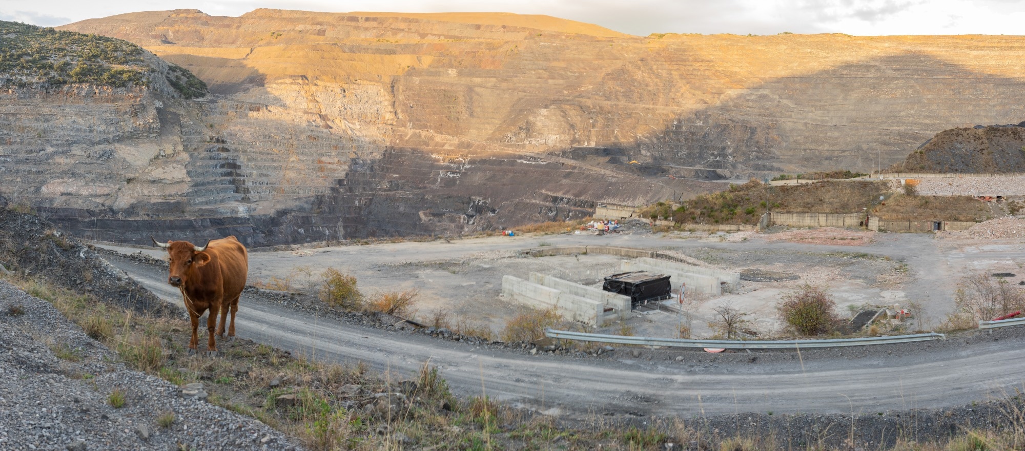
Study: Calculation of water storage space and changes in underground coal mine reservoirs. Image Credit: Angel Arredondo Prieto/Shutterstock.com
Goaf Water Storage Challenges
The global surge in coal mining operations has unfortunately led to significant environmental concerns, including substantial water resource waste and ecological damage such as groundwater depletion and land subsidence.
To help with these adverse effects and promote sustainable mining practices, underground coal mine reservoirs have emerged as a crucial solution. However, accurately determining water storage capacity in these subterranean systems, particularly in the complex and often unstable caving zones of mined-out areas (goafs), remains a major challenge.
Traditional caving mining methods typically create limited, structurally unpredictable water storage spaces, and the inherent invisibility of goafs makes precise volumetric calculations exceptionally difficult.
The researchers addressed these gaps by introducing a technical approach to digitally characterize and quantify these vital water storage areas.
No time now? Save this article for free.
Digital Goaf Space Analysis
The study employed a multifaceted approach, using physical simulation, advanced digital imaging, and rigorous laboratory testing. The initial phase focused on digitizing the goaf's spatial form. The researchers achieved this through similar material simulation experiments conducted on a specialized test bench at Shandong University of Science and Technology. The experiments replicated the geological conditions of the Halagou Coal Mine located in Shenmu City, Shaanxi Province. The mine features a stable coal seam with good integrity in its direct and basic roof structures.
The similar material models were constructed to adhere to fundamental similarity conditions, including geometric (1:300), time (1:17.3), bulk density (1:1.5), elastic modulus (1:450), strength (1:300), and Poisson's ratio (1:1) ratios.
Sand, gypsum, and calcium carbonate were carefully selected and proportioned based on the compressive strength of the prototype rock layers to ensure accurate representation of overburden behavior. Aquifers in the model were simulated using large, uniform sand particles to maintain porosity while minimizing their strength impact on overlying strata.
A crucial aspect of the methodology was a unique digital image threshold segmentation method, enhanced by "manual intervention + threshold calibration," to quantitatively identify effective porosity within the water storage spaces.
Traditional RGB image analysis often struggles to clearly distinguish features in crushed rock; therefore, researchers developed a process to manually analyze RGB histograms. When color differences were subtle, researchers manually redrew the water-storage fractures, increased feature contrast, and uniformly labeled pores in black and inter-pore areas in white.
This pre-processing significantly improved the subsequent threshold segmentation, enabling pixel-level accurate identification of pore-fracture space. The processed images were then imported into MATLAB and COMSOL Multiphysics to build 3D numerical models, enabling the integration of physical and mechanical properties and precise calculation of water storage volume using integral formulas.
Four-Stage Space Evolution
The research offered significant insights into the dynamics of water storage space within underground coal mine reservoirs, particularly those formed via the caving method.
One main finding involved a four-stage evolution law for water storage space under the combined influence of pressure and water pressure: fracture development, bed separation expansion, fracture closure, and compaction stability.
In the initial phases of mining, roof caving forms several irregular pores, marking the peak of potential water storage space. As overburden pressure continues to increase, these larger pores gradually fill, leading to rapid compaction of the water storage space. Over time, the fragmented rock mass becomes denser under sustained overburden and groundwater pressure.
Effective porosity peaked at about 30% during the bed separation expansion stage. After this compaction process stabilized, the effective porosity settled to around 20%. This implies that roughly 20% of the original mining space constitutes the effective water storage capacity. This 20% figure is particularly valuable as a quantitative basis for estimating the water storage capacity of underground goaf reservoirs.
The efficacy of the proposed digital analysis method, combining "manual intervention + threshold calibration," was also a key finding. This technique effectively overcame the limitations of traditional RGB image analysis in distinguishing fracture features, allowing for pixel-level accurate identification of pore-fracture spaces within the caving zone.
Key Findings and Outlook
The real test will come underground. Laboratory models can capture goaf mechanics in remarkable detail, but working coal mines bring geological variations, changing groundwater conditions, and structural uncertainties that are difficult to reproduce at scale.
Even so, putting a reliable number on previously difficult-to-measure storage space could have practical consequences. Mine operators could make better decisions about reservoir design, water recovery, and long-term management of abandoned workings. The finding that a compacted goaf may retain an effective porosity of around 20% also gives engineers a useful starting point when assessing how much water these spaces could accommodate.
For mining regions facing pressure on groundwater supplies, that added certainty is key. The next step is to see whether the method can deliver the same precision in different geological settings and, ultimately, in operating mines.
Journal Reference
Li M., Yang Y., et al. (2026). Calculation of water storage space and changes in underground coal mine reservoirs. Scientific Reports. DOI: 10.1038/s41598-026-62963-9, https://www.nature.com/articles/s41598-026-62963-9