Critical minerals are essential for technologies ranging from batteries and magnets to power grids. In light of this growing demand, exploration teams face increasing pressure to efficiently identify new deposits while limiting the environmental impacts of this.
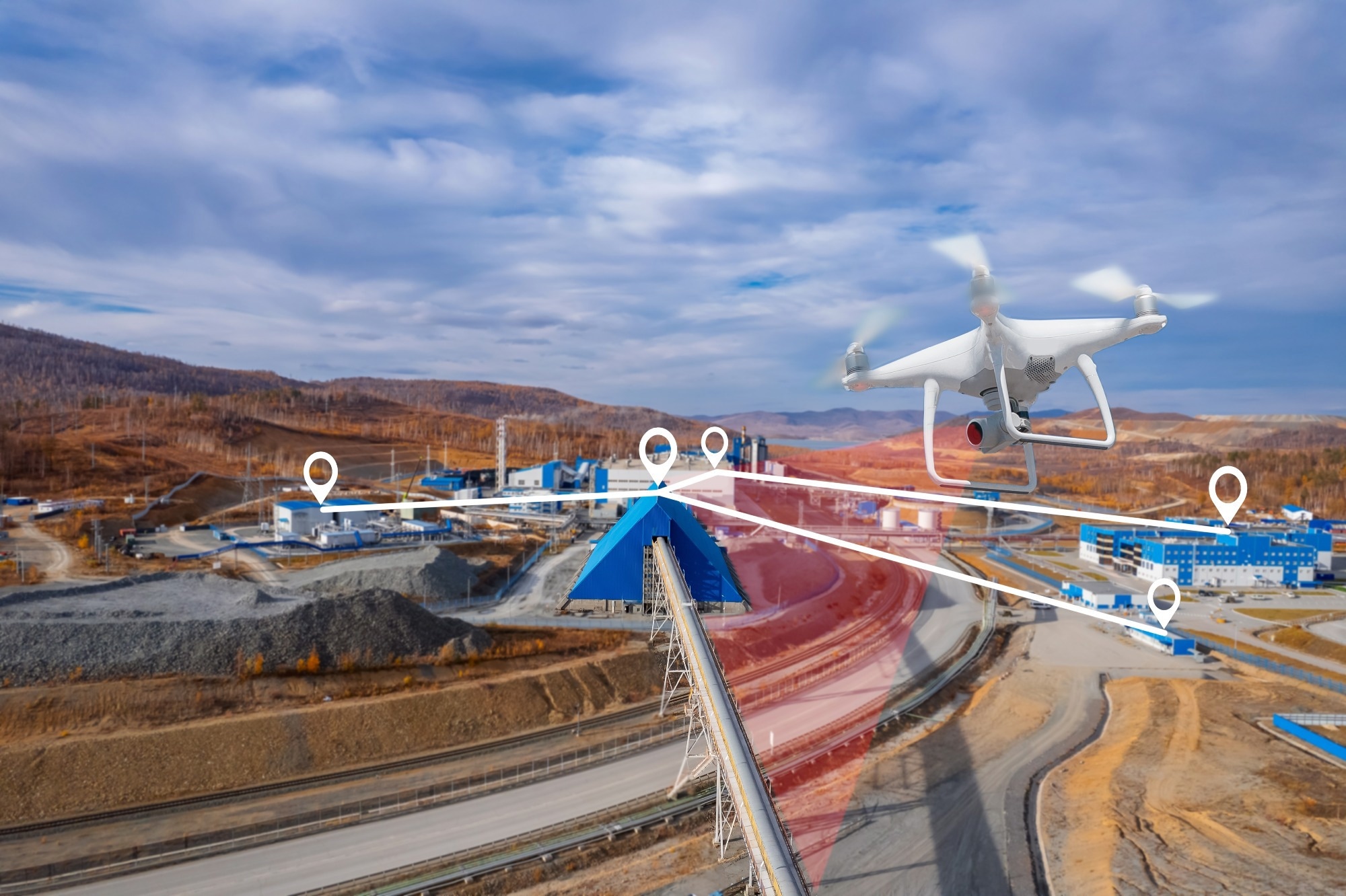
Image Credit: Parilov/Shutterstock.com
This demand is increasingly taking to the skies, as exploration teams are making use of drones and satellites to see what lies beneath the surface. Such approaches offer practicality for researchers. Once a satellite is in orbit, each pass incurs no extra costs, and drone flights can be quickly and efficiently targeted to specific areas.
These two methods can gather information across terrains where ground-based methods may prove cumbersome, without physically disturbing the surface. Building on these capabilities, European research programs are increasingly using Earth observation as a robust tool for exploration and monitoring.1
Satellites: Reading Rock Chemistry
Hyperspectral satellites split reflected sunlight into narrow spectral bands, with different minerals producing recognizable absorption features across those bands.
One key project using this approach is Italy's PRISMA mission, launched on March 22, 2019, which captures 66 visible and near-infrared bands spanning from 400 to 1010 nm, with spectral sampling finer than 11 nm. Other missions, such as Germany's EnMAP, China's GF-5, the American EMIT instrument, and Japan's HISUI, employ a similar approach.2
A recent MDPI study at the abandoned Sidi Bou Azzouz tungsten mine in Morocco illustrates the power of such technology. Researchers integrated PRISMA imagery with laboratory spectroscopy, field sampling, and mineralogical analysis to map stockpiles and tailings.
Using this technique, they successfully identified lithium-bearing white mica in residues from operations that ceased approximately 40 years ago. This process allows old waste to be redefined as a
secondary resource.2
However, this research also highlights the limitations of orbital sensing. PRISMA pixels have a ground coverage of 30 m, blurring heterogeneous stockpiles into mixed signals; instrument noise can obscure narrow spectral features, and irregular, elevated surfaces can distort measured reflectance.
The authors therefore recommend using airborne or in situ hyperspectral surveys to address these challenges, a recommendation that points directly toward low-altitude platforms.2
Drones: Carrying Geophysics Close to the Ground
Drones can address some of these resolution problems by flying just a few tens of meters above the ground with geophysical payloads on board.
A report published in the journal Drones reviewed 59 studies and 66 individual applications conducted between 2005 and 2025. It found that aerial magnetometry was used in 39 of these studies, gamma-ray spectrometry in 18, electromagnetic surveys in five, and ground-penetrating radar in a single quarry case.3
Sensor performance explains that concentration. Overhauser and Cesium vapor magnetometers mounted on drones can detect field variations as small as 0.01 nT, which is sufficient to locate hidden magnetite bodies, iron formations, and the structural corridors that contain gold, uranium, and chromite.
Multirotor platforms accounted for 72.73% of all applications reviewed because they can hover in place, navigate rugged terrains closely, and launch from confined spaces.3
Despite the advantages, coverage remains uneven across the discipline. No published mining application of drone-borne gravimetry, seismic tomography, or electrical resistivity tomography is available, three methods that still depend on ground crews or crewed aircraft.
Airborne geophysics, therefore, complements conventional surveys during exploration, extraction, and site reclamation, and the drill core and the sample bag continue to play a role in confirming what the sensors suggest.3
The MultiMiner Project: Machine Learning with Limited Ground Data
The Horizon Europe MultiMiner project (January 2023 to June 2026) was designed to fuse these separate scales of observation into a single workflow, involving 12 partners from research institutes, universities, consultancies, and mining companies across Finland, Germany, France, Czechia, Austria, and Greece. These partners tested the project's algorithms at five European test sites with diverse geological conditions.4
The project's main technical focus was on training data. Conventional supervised learning approaches require labeled field observations, which exploration campaigns rarely possess in sufficient quantity.
Download a free copy of this page here!
In light of this, MultiMiner developed weakly supervised and self-supervised methods that learned from the imagery itself and required little or no in situ reference. Copernicus imagery, commercial satellite products, drone surveys, and sparse field measurements all fed the same processing chain.1
In parallel with algorithm development, the project is also developing hardware technology. A drone-mounted hyperspectral system scans at 45 ° and 90 ° off-nadir, enabling it to capture the vertical and stepped walls of pits that downward-looking sensors often miss.
This system achieves a ground resolution of six to eight centimeters per pixel. Additionally, a terrestrial scanner captures images of working faces, helping to validate satellite interpretations with close-range mineralogical measurements.1
Radar Satellites: Watching the Ground Move
While hyperspectral instruments can help to identify minerals, radar satellites handle a separate task, measuring millimeter-scale ground motion through interferometry. Sentinel-1 transmits a C-band signal near six centimeters and resolves cells of around 20 by five meters. It can revisit most parts of the world every six to 12 days without any cost to users. Its polar orbit limits it to measuring line-of-sight displacements.5
Researchers have tested this capability in real disaster scenarios. A study published in the Bulletin of Engineering Geology and the Environment, as part of the Canadian CanBreach project, examined five failures of tailings storage facilities that occurred between 2017 and 2019.
The study analyzed archived Sentinel-1 imagery to look for signs of accelerating displacement before each breach. Vegetation, snow, and site activity reduced coherence thresholds to 0.57–0.65 at two locations.5
Routine surveillance follows the same logic on operating structures. At the Dexing Copper Mine No. 4 tailings dam in Jiangxi Province, researchers processed 118 Sentinel-1A scenes acquired between January 2018 and December 2021. They generated 32,903 measurement points across the embankment, corrected for atmospheric delays, and correlated the resulting deformation time series with monthly rainfall records before projecting future movement.6
Future Developments
Together, airborne and orbital sensing can narrow the search space and flag emerging problems early. The key advantage lies in the sequencing process; comprehensive satellite coverage guides targeted drone surveys. These surveys then inform the few expensive drill holes that any exploration budget can manage.2
However, the successful adoption of such sensing technologies now depends as much on the software layer as on the sensors themselves. MultiMiner frames its main deliverable as user-friendly analysis tools that geologists without machine-learning training can operate on their own data, alongside a durable digital record of the deposits that current economics leave in the ground for later generations to reconsider with better technology.4
As sensors improve, drone payloads become more capable, and machine-learning tools become easier for geologists to use, these technologies and their interactions will become increasingly important.
References and Further Reading
- New machine learning tools uncover hidden mineral resources in complex terrains. (2022). [Online] CORDIS Europe. Available at: DOI:10.3030/101091374. https://cordis.europa.eu/article/id/461089-new-machine-learning-tools-uncover-hidden-mineral-resources-in-complex-terrains.
- Guglietta, D. et al. (2025). Hyperspectral Investigation of an Abandoned Waste Mining Site: The Case of Sidi Bou Azzouz (Morocco). Remote Sensing, 17(11). DOI:10.3390/rs17111838. https://www.mdpi.com/2072-4292/17/11/1838.
- Perikleous, D. et al. (2025). Aerial Drones for Geophysical Prospection in Mining: A Review. Drones, 9(5). DOI:10.3390/drones9050383. https://www.mdpi.com/2504-446X/9/5/383.
- Multi-source and multi-scale earth observation and novel machine learning methods for mineral exploration and mine site monitoring. (2023). [Online] GTK. Available at: https://www.gtk.fi/en/research-project/multiminer/.
- Rana, N.M. et al. (2024). Application of Sentinel-1 InSAR to monitor tailings dams and predict geotechnical instability: practical considerations based on case study insights. Bulletin of Engineering Geology and the Environment, 83. DOI:10.1007/s10064-024-03680-3. https://link.springer.com/article/10.1007/s10064-024-03680-3.
- Xie, W. et al. (2023). SBAS-InSAR-Based Deformation Monitoring of Tailings Dam: The Case Study of the Dexing Copper Mine No.4 Tailings Dam. Sensors, 23(24). DOI:10.3390/s23249707. https://www.mdpi.com/1424-8220/23/24/9707.
Disclaimer: The views expressed here are those of the author expressed in their private capacity and do not necessarily represent the views of AZoM.com Limited T/A AZoNetwork the owner and operator of this website. This disclaimer forms part of the Terms and conditions of use of this website.