A new study has found that deep mining activities account for most observed ground movement, with tailings consolidation accounting for only a small fraction of the total deformation. The researchers published the study in Remote Sensing, focusing on the South Deep Gold Mine in South Africa.
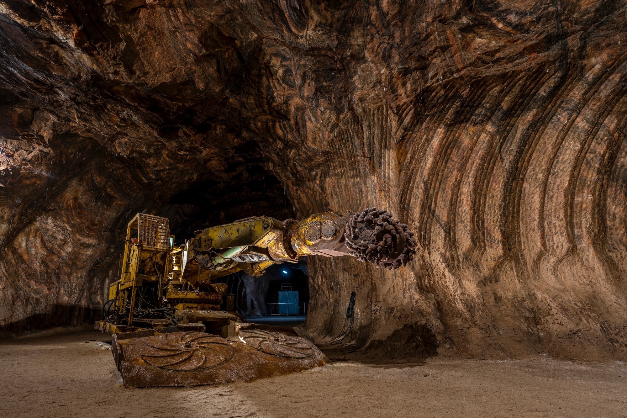
Study: Decoupling Deep Mining and Tailings Consolidation-Induced Subsidence Using SBAS-InSAR and NMF: A Case Study at South Deep Gold Mine, South Africa. Image Credit: Sopotnicki/Shutterstock.com
Understanding the Drivers of Mining-Induced Subsidence
Land subsidence is one of the most significant geotechnical challenges in deep underground mining.
Ground movement damages tailings storage facilities (TSFs), processing plants, roads, and other critical infrastructure. In complex geological settings, identifying the causes of subsidence is essential for maintaining safe and efficient mining operations.
Traditional ground surveys provide accurate measurements at specific locations but cannot capture deformation across an entire mining site.
Satellite-based Interferometric Synthetic Aperture Radar (InSAR) overcomes this limitation by measuring millimeter-scale ground movement over large areas. However, it records the combined effects of multiple deformation processes, making it difficult to determine whether subsidence results from underground mining or local tailings consolidation.
In the new study, researchers investigated ground deformation at the South Deep Gold Mine, one of the world's deepest underground mining operations. The researchers combined Small Baseline Subset Interferometric Synthetic Aperture Radar (SBAS-InSAR), Global Navigation Satellite System (GNSS) observations, and Non-Negative Matrix Factorisation (NMF) to distinguish between subsidence caused by deep underground mining and that resulting from tailings consolidation.
Combining Satellite Monitoring with Advanced Signal Analysis
The researchers monitored ground deformation using 78 Sentinel-1A Synthetic Aperture Radar images collected between May 2022 and December 2024.
They processed the satellite data with the SBAS-InSAR technique to generate detailed maps of annual subsidence rates and cumulative ground displacement. This approach enabled continuous monitoring across the entire mining area without extensive field surveys.
The team validated the satellite measurements using data from permanent and campaign-based GNSS stations installed across the mine. The close agreement between the two datasets confirmed the accuracy of the InSAR measurements. Researchers applied Non-Negative Matrix Factorisation (NMF) to separate the overlapping deformation signals. The team compared the results with underground mining layouts to determine how surface deformation corresponded with active extraction zones.
Want to save for later? Click here.
Deep Underground Mining Dominates Surface Deformation
The analysis revealed widespread ground subsidence across the active mining areas. The largest deformation occurred near the Doornpoort tailings storage facility, where the maximum annual subsidence rate reached −26.09 mm per year and cumulative ground movement exceeded 57 mm during the monitoring period. The deformation patterns closely matched the locations of underground extraction blocks, confirming a strong link between mining activity and surface subsidence.
The comparison between InSAR and GNSS measurements showed excellent agreement, with differences of only a few millimeters. This validation demonstrated that the integrated monitoring approach can reliably track long-term ground deformation and support geotechnical assessments.
The NMF analysis showed that 92% of the cumulative subsidence at the Doornpoort tailings storage facility resulted from deep underground mining, while only 8% resulted from local tailings consolidation.
Within the tailings basin, underground mining accounted for nearly all the observed ground movement. These results highlight that the tailings facility responds primarily to stress transmitted from deep underground excavations rather than acting as the main source of settlement.
The researchers found that subsidence increased gradually as mining progressed. Small zones of ground deformation expanded over time and eventually merged to form broad regional subsidence basins. This behavior reflects the redistribution of stress through the overlying rock mass, a phenomenon known as the Angle of Draw. As the stress field expanded beyond the underground excavations, ground movement spread outward and affected the tailings storage facilities.
Improving Risk Management for Deep Mining Operations
This study provides new insights into the causes of surface deformation in deep underground mines. The findings show that tailings storage facilities respond primarily to regional ground movement driven by underground mining rather than functioning as isolated structures. This understanding can help mining companies improve infrastructure monitoring and better identify areas vulnerable to long-term subsidence.
The integrated SBAS-InSAR, GNSS, and NMF approach offers a practical and non-invasive solution for continuous ground deformation monitoring. By combining satellite observations with advanced signal analysis, it distinguishes different subsidence mechanisms without relying solely on extensive ground-based instrumentation. This capability supports earlier hazard detection and enables more informed maintenance and risk management decisions.
The proposed monitoring approach can also be applied beyond the South Deep Gold Mine. It can support deformation monitoring at other underground mining operations with complex geological conditions, including fractured rock masses and karst terrains.
Future studies should integrate satellite observations with geotechnical and geophysical data, which could further improve subsidence prediction.
The growing depth of underground mining will make integrated monitoring strategies essential for protecting infrastructure, managing geotechnical risks, and supporting sustainable mining.
Journal Reference
Adoko, B., Zhao, C., et al. (2026). Decoupling Deep Mining and Tailings Consolidation-Induced Subsidence Using SBAS-InSAR and NMF: A Case Study at South Deep Gold Mine, South Africa. Remote Sensing, (14), 2337. DOI: 10.3390/RS18142337, https://www.mdpi.com/2072-4292/18/14/2337
Disclaimer: The views expressed here are those of the author expressed in their private capacity and do not necessarily represent the views of AZoM.com Limited T/A AZoNetwork the owner and operator of this website. This disclaimer forms part of the Terms and conditions of use of this website.