Geological Variability and Machine Learning
The Nature of Geological Complexity
Data Scarcity and Spatial Bias
The Problem of Spatial Autocorrelation
Uncertainty and Out-of-Distribution Risk
Lessons From Landslide and Drilling Applications
Moving Toward Better Geological Models
References and Further Reading
Machine-learning models perform poorly on geological data because rock formations, soil layers, and subsurface structures rarely exhibit the steady, uniform patterns these models often rely on. The variability in geological features creates a disconnect between what the algorithms learn during training and what they encounter in the real world. As a result, the predictions made by these models can appear confident, yet they may overlook important local details.
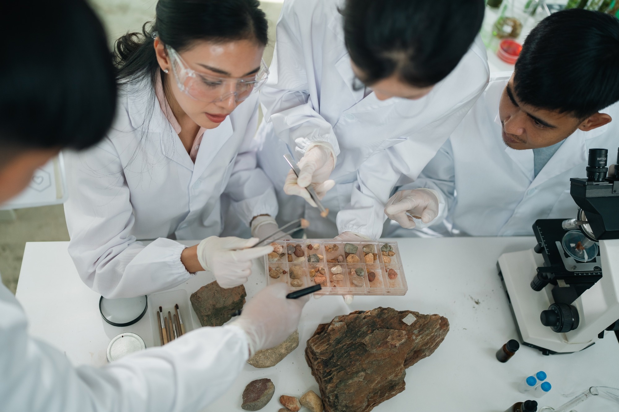
Image Credit: Chokniti-Studio/Shutterstock.com
Geological Variability and Machine Learning
Geological data breaks many of the assumptions built into machine-learning systems. Rock formations differ significantly across meters, not miles, and that kind of variability leaves a wide gap between what an algorithm learns in training and what it actually meets underground.1,2
This mismatch matters because geoscience decisions, from site investigations to landslide warnings, carry real consequences for safety and cost. Engineers and researchers keep chipping away at the problem, but the core difficulty is structural, as geological data simply does not behave like the clean, orderly inputs most machine-learning systems were built to handle.1,2
Download a copy of this article here.
The Nature of Geological Complexity
Geological formations change abruptly across short distances due to folding, faulting, and dissolution processes that leave no consistent signature. Chalk formations in parts of the United Kingdom, for example, contain irregular voids and cavities that vary from one borehole to the next, making the ground itself resistant to generalization.1
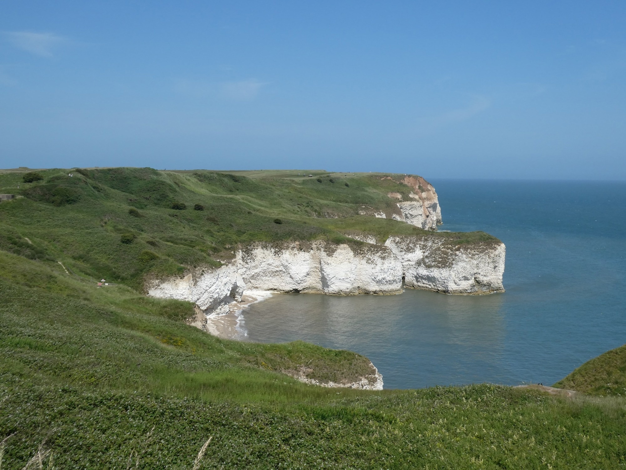
Image Credit: KLP Designs/Shutterstock.com
A model trained on data from one region often fails when applied elsewhere because subsurface conditions rarely repeat in predictable ways. Investigation methods like dynamic probing can exaggerate or underestimate risk in these settings, feeding the model flawed signals before it even begins learning.1
Additionally, lithology introduces further complications since sedimentary and igneous rocks respond differently to the same environmental triggers, such as rainfall. Research on landslide prediction in Guangdong, China, found that models that ignored these lithological distinctions oversimplified risk assessments and produced less reliable warnings in regions with mixed rock types.3
Data Scarcity and Spatial Bias
Geological datasets tend to be sparse and unevenly distributed across regions, which limits how much a model can learn about conditions outside of well-studied areas. Site investigations often generate less than one thousand data points per project, far below what many algorithms need to confidently generalize.1
This scarcity creates spatial bias, where models perform well in data-rich zones but poorly elsewhere. A global review of geospatial machine learning found that sparse or non-existent data in certain regions drives down classification accuracy for environmental and geological targets alike.2
Imbalanced data exacerbates the problem, since rare geological events such as sinkholes or fault ruptures appear much less often in training records than common formations. Standard accuracy metrics can mask this weakness, as a model may achieve a good overall score while failing to recognize the rare cases that matter most for risk management.2
The Problem of Spatial Autocorrelation
Geological features located in proximity to one another show greater similarity than those located farther apart. This phenomenon is known as spatial autocorrelation. Many machine-learning algorithms assume that data points are independent of one another. However, this assumption fails when neighboring rock samples have similar depositional histories.2
Ignoring this dependence can inflate a model's apparent accuracy during testing, given that training and validation sets drawn from the same clustered region will naturally look similar. Studies applying convolutional neural networks to spatial data have elucidated how this oversight leads to validation procedures that overstate real-world performance.2
Residual spatial autocorrelation poses an additional complication, as it can persist even after a model accounts for known predictors. This leftover pattern signals that important geological variables remain unmeasured or unaccounted for, weakening the statistical foundations on which regression-based models rely for reliable inference.2
Uncertainty and Out-of-Distribution Risk
Machine-learning models trained on one geological setting frequently encounter conditions during deployment that differ from anything in their training data, a phenomenon researchers call the out-of-distribution problem. This shift can occur through new rock classes, altered mineral compositions, or changed environmental baselines that the model never observed.2
Few geological studies report proper uncertainty estimates with their predictions, leaving practitioners unsure about how much to trust a given output. Without calibrated confidence measures, a model's forecast for an unfamiliar rock layer can appear just as certain as one for a well-documented formation.2
The Geology Forecast Challenge addressed the issue by evaluating sequence-based models on their capacity to predict stratigraphic layers ahead of a drilling operation. The results indicated that probabilistic approaches, which account for uncertainty, performed better than models that provided single, deterministic answers. This is because geological ambiguity seldom resolves into one clear outcome.4
Lessons From Landslide and Drilling Applications
Landslide forecasting illustrates how geological variability challenges practical deployment. A random forest model built for northern and eastern Guangdong achieved strong hit rates when researchers separated sedimentary from igneous lithology, showing that treating all rock types as equivalent degrades warning accuracy.3
Drilling and geosteering operations face a related challenge, since layer boundaries ahead of the drill bit can include faults, dips, and folds that defy simple depth estimates. The Geology Forecast Challenge dataset, drawn from thousands of real geosteering records, demonstrated that even advanced deep learning architectures need probabilistic framing to handle this ambiguity responsibly.4
Rock slope monitoring using structure-from-motion point clouds shows a similar pattern: classifiers trained on one rock face often underperform on another due to differences in texture, weathering, and fracture patterns. Training data variability directly shaped how well these models generalized across different slope conditions.5
Moving Toward Better Geological Models
Researchers increasingly favor hybrid approaches that combine physical geological principles with data-driven learning rather than relying on either method alone. Solid Earth geoscience benefits from large historical datasets; combining these with domain knowledge helps models respect known geological constraints instead of learning spurious patterns.6
Spatial cross-validation techniques, which split training and testing data by geographic region rather than randomly, offer a practical way to expose overfitting due to autocorrelation before deployment. This approach gives a more honest picture of how a model will perform in genuinely new locations.2
Progress also depends on treating machine learning as a tool that supports geological judgment rather than replaces it. When engineers combine AI outputs with borehole logs and expert review, they are more likely to detect local anomalies that broad training datasets might miss.1
References and Further Reading
- (2026). When AI Gets the Soil Wrong: Machine Learning and Ground Risk. [Online] Responsible with AI. Available at: https://www.responsiblewithai.com/blog/when-ai-gets-the-soil-wrong-machine-learning-and-ground-risk.
- Koldasbayeva, D. et al. (2024). Challenges in data-driven geospatial modeling for environmental research and practice. Nature Communications. 15. https://www.nature.com/articles/s41467-024-55240-8.
- Cui, W. et al. (2025). Interpretable machine learning incorporating major lithology for regional landslide warning in northern and eastern Guangdong. Npj Natural Hazards. 2(1). https://www.nature.com/articles/s44304-025-00146-8.
- Djecta, H. E. et al. (2026). Sequence Machine Learning for Geological Forecasting: Insights from the Open Geology Forecast Challenge. European Association of Geoscientists & Engineers. https://www.earthdoc.org/content/papers/10.3997/2214-4609.202639057.
- Weidner, L., & Walton, G. (2021). The influence of training data variability on a supervised machine learning classifier for Structure from Motion (SfM) point clouds of rock slopes. Engineering Geology. 294. https://www.sciencedirect.com/science/article/abs/pii/S0013795221003550.
- Bergen, K. J., Johnson, P. A., & Beroza, G. C. (2019). Machine learning for data-driven discovery in solid Earth geoscience. Science. https://www.science.org/doi/10.1126/science.aau0323.
Disclaimer: The views expressed here are those of the author expressed in their private capacity and do not necessarily represent the views of AZoM.com Limited T/A AZoNetwork the owner and operator of this website. This disclaimer forms part of the Terms and conditions of use of this website.