The Limits of Traditional Methods
What AI Brings to the Search
Deep Learning for Prospectivity Mapping
Ambient Noise Tomography and AI Working Together
Continental-Scale Targeting
Handling Sparse Data Under Cover
From Hypothesis to Drill Target
Referencing and Further Reading
Finding ore bodies buried hundreds of meters beneath Earth's surface remains one of geology's most prominent challenges. Artificial intelligence (AI) is changing this by simultaneously processing enormous volumes of geophysical, geochemical, and geological data to identify mineral deposits that conventional prospecting methods often miss.
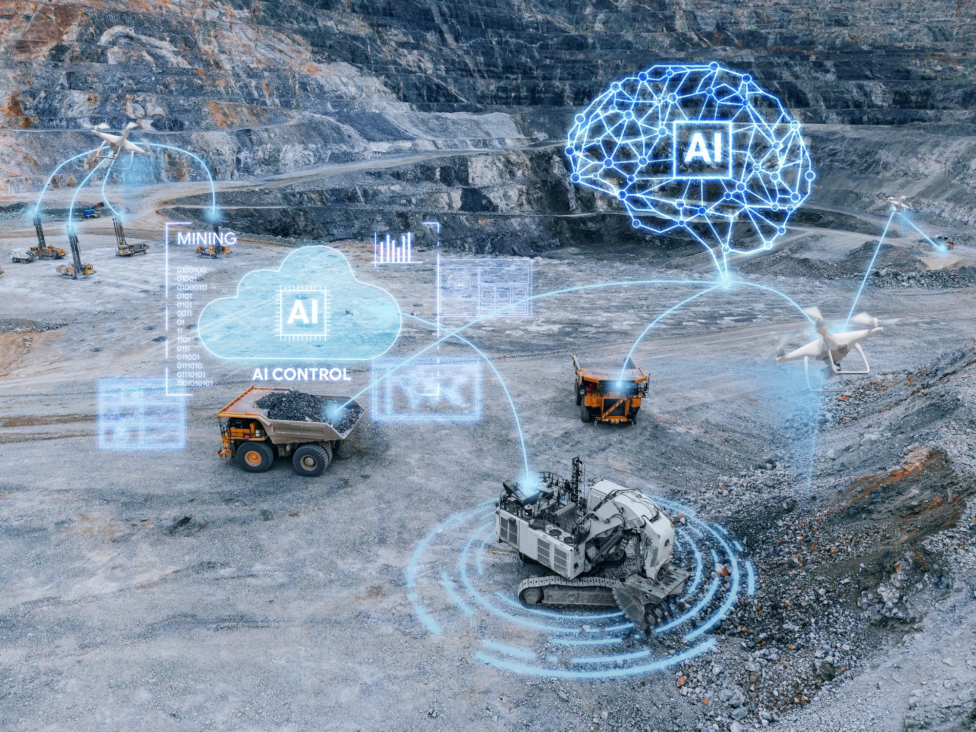
Image Credit: Parilov/Shutterstock.com
The Limits of Traditional Methods
Conventional mineral exploration relies heavily on surface sampling, drilling, and geophysical surveys. Each method only measures one physical property of rock, such as magnetism, electrical conductivity, or density.1,2
These point-by-point methods work reasonably well when ore is close to the surface, but their effectiveness drops sharply when deposits are buried under thick layers of younger, barren rock.
No time now? Download a free PDF for later.
Often, geological terranes exposed at the surface have already been thoroughly surveyed, so the industry has been forced to push exploration into areas where prospective rock packages lie beneath post-mineralization cover.1,2
The problem runs deeper than geography. Geological systems and processes are highly nonlinear as they operate across scales ranging from molecular interactions to continent-wide tectonic forces.
Human geologists can hold only a fraction of this complexity in mind at once, and classic statistical methods lack the power to integrate dozens of data layers from satellite imagery, soil chemistry, aeromagnetics, and seismic surveys into a single predictive model.2
What AI Brings to the Search
Machine learning models learn the geophysical and geochemical fingerprints of known ore deposits and then search for analogous patterns across vast unexplored territories.
KoBold Metals, a California-based mineral exploration company backed by investors including Bill Gates and Jeff Bezos, trains its models on a proprietary dataset that combines geological data from academic publications, satellite imagery, soil analyses, and even handwritten field reports.
The output is a probabilistic map showing where valuable ore is most likely to be buried. Once a promising zone has been identified, electromagnetic cables laid on the ground measure interactions between electromagnetic waves and subsurface minerals.3,4
Models trained on this site-specific data estimate mineral composition beneath specific areas, and off-site geologists calculate the optimal drill trajectory using Bayesian inference to intersect the predicted deposit.
In Zambia, this approach advanced the $2.3 billion Mingomba copper (Cu) project, which KoBold says is supporting the country's push to lift annual copper output to three million tons.3,4
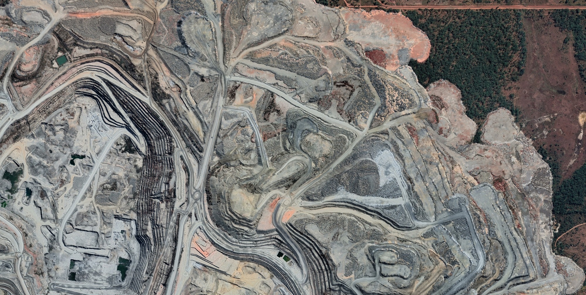
Image Credit: Aerial Viewer/Shutterstock.com
Deep Learning for Prospectivity Mapping
Deep learning models excel at uncovering complex, nonlinear relationships between multi-source exploration data and mineralization probability. A study published in Geoscientific Model Development introduced DEEP-SEAM, an explainable semi-supervised deep learning framework specifically designed to predict rare-earth element (REE) prospectivity in areas concealed by younger cover rock.1
DEEP-SEAM's results were striking. The top 2% of the mapped area in South Australia's northern Curnamona Province contained 86% of known REE deposits, and nearly all known occurrences fell within the highest-prospectivity zones.1
The model uses Shapley additive explanations (SHAP) to reveal which data inputs drove each prediction, highlighting radiometric signatures, magnetic pseudo-gravity attributes, and hydrothermal alteration indicators as the most influential predictors. That transparency enables geologists to validate machine predictions against their own knowledge of how ore systems form.1
Ambient Noise Tomography and AI Working Together
One of the most technically significant advances is the integration of ambient noise tomography (ANT) with AI-driven prospectivity modeling. ANT reconstructs 3D subsurface velocity models by cross-correlating continuous seismic noise recordings between sensor pairs, effectively turning environmental vibrations into a subsurface imaging tool.2
Fleet Space Technologies has engineered a seismic sensor, the Geode, that delivers these 3D models in just days, covering large exploration areas at a fraction of the cost of traditional active seismic surveys.
When researchers from Fleet Space Technologies published their end-to-end AI and ANT workflow in 2024, they demonstrated that an AI model trained on national-scale magnetic, gravity, and radiometric data could be fine-tuned at deposit scale using a small number of drillhole intercepts.5,6
At the Hillside iron oxide copper-gold (IOCG) deposit on South Australia's Yorke Peninsula, the fine-tuned model accurately delineated the copper mineralization shell by identifying a distinctive seismic velocity anomaly zone.
Copper mineralization at Hillside occupies moderate shear-wave velocity domains that sit in a transitional zone between high- and low-velocity rock packages, a pattern invisible to conventional surface methods.2
Continental-Scale Targeting
AI models trained on large national datasets can identify high-priority exploration regions across entire continents, generating candidate targets in areas that have previously received little attention.2
The Fleet Space/ANT model flagged Australia's Georgina Basin as highly prospective for copper, a region comparatively sparse in known deposits, suggesting that buried mineralization may be present beneath the basin's sedimentary cover. Deep crustal architectural controls on ore deposit formation are captured through teleseismic and ANT data sets, contributing important predictive signals in such models.2
KoBold's platform extends this logic to multiple continents simultaneously. The company processes continental-scale magnetic surveys using cloud-distributed Fourier transforms, a computation too expensive for any single workstation, to generate subsurface models across areas where standard exploration never progressed.4,7
The Burundi government partnered with KoBold to digitize geological datasets and apply AI to nickel (Ni), copper, and cobalt (Co) prospectivity, while the DRC partnership targets the Manono lithium (Li) project, one of the world's largest hard-rock lithium deposits.4,7
Handling Sparse Data Under Cover
A major challenge in covered terrain exploration is that labeled training data, such as confirmed ore deposits with documented locations and characteristics, is extremely rare. A standard supervised deep learning model would perform poorly because it would favor the majority class and ignore the rare mineralization signal.1,8
DEEP-SEAM addresses this through a semi-supervised anomaly detection architecture called DevNet, which learns from a small number of confirmed occurrences alongside abundant unlabeled samples and directly optimizes anomaly scores rather than relying on class boundaries.1,8
The same principle drives KoBold's adaptation capability. In western Québec, the company's model flagged white lichen as a false positive in initial lithium-prospectivity data. Field scientists caught the error, and the AI model was updated to correct for it within days, an adjustment that would take months under traditional exploration workflows.
This rapid model revision from field feedback represents one of AI's most practical advantages in areas where geological conditions at depth differ significantly from surface signals.9
From Hypothesis to Drill Target
AI is not intended to replace geologists. Rather, it is thought that it will help accelerate the cycle of generating and eliminating hypotheses.
KoBold's internal philosophy centers on falsifying exploration hypotheses as quickly as possible, which requires large-scale geospatial computational capabilities that no human team could execute manually.
By processing electromagnetic response data alongside hyperspectral imagery and stochastic inversion models, the platform produces subsurface composition estimates for specific drill locations with quantified uncertainty.7
Finding a commercially viable mineral deposit through traditional exploration methods is challenging, with success only seen once in every 300 attempts.10 AI-driven workflows markedly improve these odds by concentrating drilling resources on zones where multiple independent data streams converge on the same anomaly.
At Hillside, the ANT-AI integration showed that orebody intercepts could progressively fine-tune the foundation model, meaning each drill result makes the next prediction sharper.2,8,10
References and Further Reading
- Luo, Z. et al. (2026). DEEP-SEAM: an explainable semi-supervised deep learning framework for mineral prospectivity mapping. Geoscientific Model Development, 19(7). https://gmd.copernicus.org/articles/19/2593/2026/.
- Muir, J. et al. (2024). End-to-End Mineral Exploration with Artificial Intelligence and Ambient Noise Tomography. Physics arXiv:2403.15095. https://arxiv.org/abs/2403.15095.
- Farfan, N. (2023). Digging for Green Tech: How KoBold Metals uses AI to find rare earth minerals. [Online] DeepLearning.AI. Available at: https://community.deeplearning.ai/t/digging-for-green-tech-how-kobold-metals-uses-ai-to-find-rare-earth-minerals/261598.
- Cassels, D. (2026). KoBold CEO to spotlight AI at African Mining Week. [Online] Canadian Mining Journal. Available at: https://www.canadianminingjournal.com/news/kobold-ceo-to-spotlight-ai-at-african-mining-week/?utm_source=chatgpt.com.
- (2024). Fleet Space Announces New ExoSphere Features to Advance ML-Enabled, Real-Time Exploration. [Online] Fleet Space Technologies. Available at: https://www.fleetspace.com/newsroom/fleet-space-announces-new-exosphere-features-to-advance-ml-enabled-real-time-exploration.
- Olivier, G. et al. (2022). Fleet’s Geode: A Breakthrough Sensor for Real-Time Ambient Seismic Noise Tomography over DtS-IoT. Sensors, 22(21). https://www.mdpi.com/1424-8220/22/21/8372.
- How KoBold Metals transformed mineral exploration. [Online] Coiled.io. Available at: https://coiled.io/customers/kobold.
- Yuan, M. et al. (2026). A systematic review of deep learning methods for mineral exploration using multisource geoscience data (2018–2025). International Journal of Applied Earth Observation and Geoinformation. 149. https://www.sciencedirect.com/science/article/pii/S1569843226001706.
- (2024). KoBold Metals: Revolutionizing Mineral Exploration with AI. [Online] Geomar. Available at: https://geomar.net.pl/en/blog/eko_rozwoj/kobold-metals-revolutionizing-mineral-exploration-with-ai/.
- (2025). AI – Taking on Critical Mineral Exploration’s 1 in 300 Odds. [Online] PRAEFIDI. Available at: https://praefidi.com/ai-taking-on-critical-mineral-explorations-1-in-300-odds/.
Disclaimer: The views expressed here are those of the author expressed in their private capacity and do not necessarily represent the views of AZoM.com Limited T/A AZoNetwork the owner and operator of this website. This disclaimer forms part of the Terms and conditions of use of this website.