*Important notice: This news reports on an unedited version of an accepted paper and is awaiting final editing. Therefore, the paper should not be regarded as conclusive or treated as established information.
A nested dual-scale framework has been developed to assess hydrological reorganization in open-pit coal mine landscapes. This framework integrates remote sensing, SWAT simulation, and interpretable machine learning to understand surface runoff and lateral flow responses at the hydrological response unit (HRU) scale. The researchers published their findings in Scientific Reports.
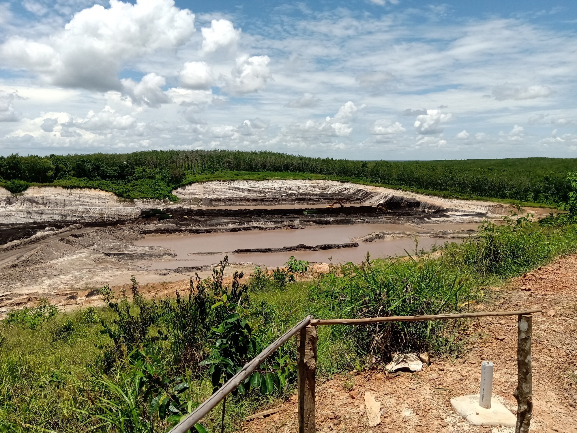 Study: Hydrological reorganization of reconstructed land surfaces in an open pit coal mine assessed through remote sensing SWAT simulation and interpretable machine learning. Image Credit: Aghnia's Father/Shutterstock.com
Mining's Hydrological Impact
This research highlights the intricate hydrological changes that occur on land surfaces extensively reshaped by open-pit coal mining and subsequent restoration efforts. Traditional studies often focus on broader watershed scales, but this study emphasizes the finer, more localized hydrological response units (HRUs) to uncover the specific mechanisms driving water redistribution.
The main challenge is that mining drastically changes terrain, land cover, and drainage, and though restoration attempts to reverse these changes, exact hydrological responses at the microscale remain poorly understood.
Download a PDF copy of this page!
Nested HRU Analysis Framework
To better understand these complex hydrological changes, the study developed a nested, dual-scale framework for the Juhugeng mining area in
China’s Muli coalfield, a typical alpine open-pit mining landscape.
The approach combined remote sensing, SWAT (soil and water assessment tool) modeling, cross-period HRU matching, machine-learning classification, and SHAP interpretation. Three scenarios were established to represent key stages of landscape change: pre-mining conditions in 2006, post-mining conditions in 2014, and post-restoration conditions in 2024.
To ensure that the observed hydrological differences were primarily driven by land-surface changes rather than by variations in climate, all three scenarios were simulated using the same 2024 climatic forcing. The 2014 HRUs were used as the reference, with corresponding HRUs from 2006 and 2024 matched to track changes during both mining and restoration.
Four main groups of potential drivers were examined using remote sensing and GIS data: topographic changes, land-use composition, landscape patterns, and structural reorganization and connectivity. SWAT was then used to simulate surface runoff (SURQ) and lateral flow (LATQ) at the HRU scale.
XGBoost used quantile-based thresholds to classify the resulting hydrological responses into three categories: decrease, stable, and increase. SHAP (Shapley additive explanations) analysis was used to interpret these classifications and determine which factors contributed most strongly to each response.
Finally, several robustness checks, including repeated grouped validation, alternative classification thresholds, stricter HRU matching criteria, and common-resolution topographic analysis, were carried out to test the consistency and reliability of the results.
SURQ/LATQ Reorganization Mechanisms
The study provides a clearer picture of how mining and restoration reshape hydrological processes across the landscape. The HRU matching framework performed well overall, showing that hydrological units could be compared across different mining stages while also revealing substantial spatial reorganization.
Under the native-resolution SWAT-HRU setup, lateral flow (LATQ) showed greater model separability than surface runoff (SURQ), with grouped validation accuracies of 0.89 ± 0.04 during mining and 0.86 ± 0.03 during restoration.
When topographic variables were recalculated at a common 12.49 m resolution, LATQ accuracy decreased to 0.74 ± 0.05 and 0.73 ± 0.04, indicating that the relative importance of terrain range and variability depended in part on DEM resolution.
Even so, LATQ retained a strong model-based association with broader topographic reconfiguration, with mean-slope change remaining the highest-ranked variable under both native- and common-resolution analyses.
For SURQ, the common-resolution models achieved accuracies of 0.79 ± 0.05 during mining and 0.74 ± 0.07 during restoration. SHAP analysis further showed that SURQ was mainly influenced by changes in water area, engineered surfaces, exposed land, and localized slope conditions, reflecting the importance of surface characteristics in redistributing runoff.
LATQ, in contrast, was more closely related to broader topographic reconfiguration, particularly changes in mean slope. Adding nested-context variables representing wider subbasin conditions did not consistently improve model performance, suggesting that HRU-level variables were generally sufficient to explain local hydrological responses.
Overall, SURQ and LATQ responded differently to changes in terrain, land use, and landscape structure. Mining was mainly associated with rapid disturbance and expansion of water bodies, while restoration involved terrain reshaping and land-cover recovery.
In the simulations, restoration did not return the landscape to its original modeled hydrological condition. Instead, it created a newly reorganized hydrological state, highlighting the importance of evaluating individual hydrological processes rather than relying only on total runoff.
HRU-Scale Insights and Limitations
This study developed a reproducible framework to understand how open-pit mining and subsequent restoration reshape hydrological processes. By combining remote sensing, SWAT modeling, HRU matching, and interpretable machine learning, it examined changes in surface runoff (SURQ) and lateral flow (LATQ) at the HRU scale.
The results showed that SURQ was mainly influenced by surface features, particularly water bodies and engineered surfaces, whereas LATQ was more strongly controlled by topographic changes, especially mean slope.
Spatial resolution also affected the importance of other terrain variables. Notably, restored landscapes did not simply return to their original hydrological conditions but developed new patterns of water movement. These findings highlight the value of process-based assessment for designing sustainable mine restoration strategies, particularly where field observations and direct hydrological validation remain limited.
Journal Reference
Li Q., Guo Y., et al. (2026). Hydrological reorganization of reconstructed land surfaces in an open pit coal mine assessed through remote sensing SWAT simulation and interpretable machine learning. Scientific Reports. DOI: 10.1038/s41598-026-65717-9. https://www.nature.com/articles/s41598-026-65717-9.