*Important notice: This news reports on an unedited version of an accepted paper and is awaiting final editing. Therefore, the paper should not be regarded as conclusive or treated as established information.
Researchers have investigated the distribution of naturally occurring radioactive materials in soils in an Iranian ore mine and found considerable variation in radionuclide concentrations across the mining area.
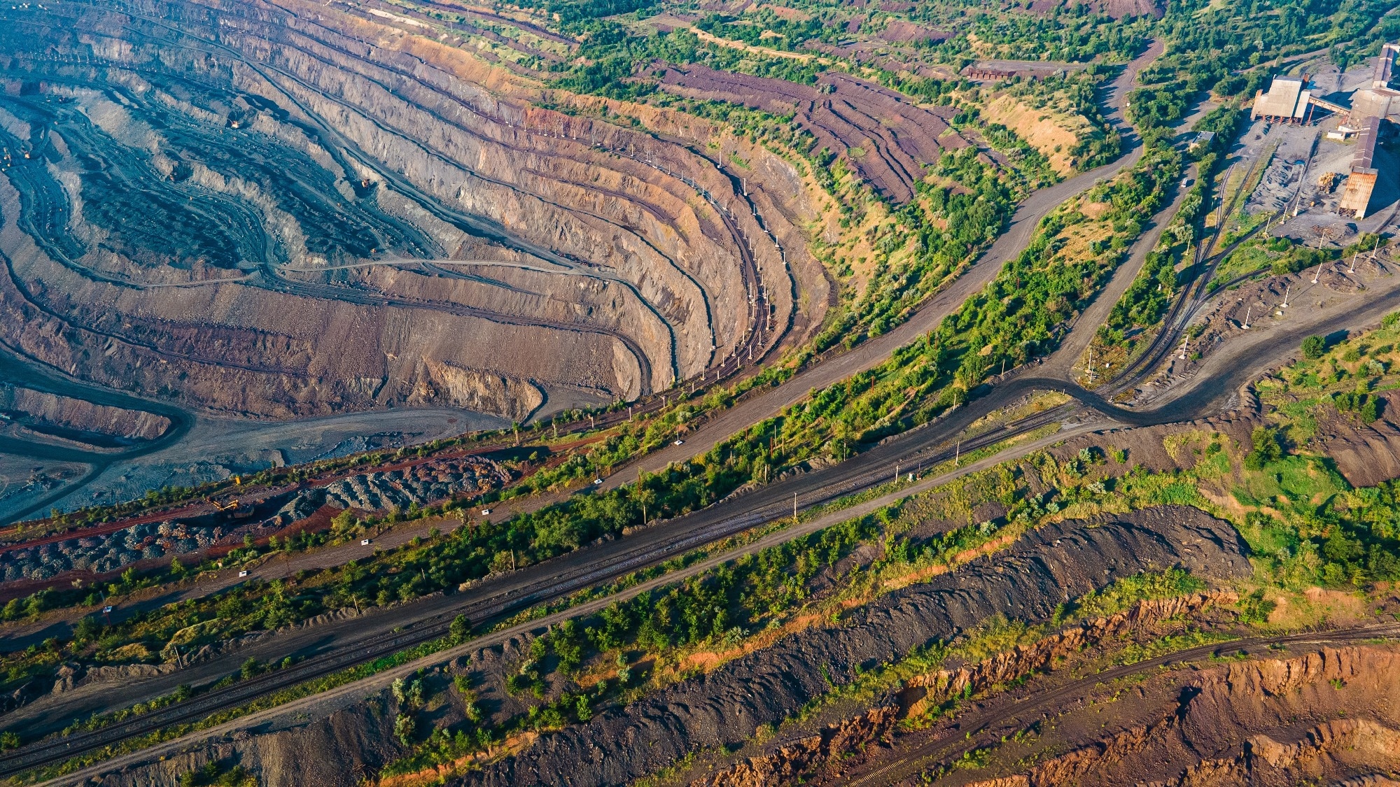 Study: Mapping natural radionuclide distribution and assessing radiological hazards in soils from an iron ore mine. Image Credit: TR STOK/Shutterstock.com
Measuring three key radionuclides - 226Ra, 232Th, and 40K - they found hotspots occurring in low-lying areas where water accumulates, suggesting that water movement may contribute to radionuclide transport and concentration. Their findings were published in Scientific Reports.
Assessing Natural Radioactivity in Iron Ore Mining Areas
Mining can disturb naturally occurring radioactive materials (NORMs) within rocks and soils, with excavation, waste disposal, and mineral processing potentially redistributing them throughout the mining environment.
Radionuclides can contribute to external gamma radiation and may also move through soil, dust, surface water, and groundwater.
Download a free copy of this page here!
Previous studies have examined natural radioactivity around mines, quarries, tailings, and other disturbed environments, with most reporting activity levels within recommended limits, although localized hotspots have also been identified. These findings show why measurements from individual sampling points are important when assessing radiation risks in mining areas.
In this study, researchers focused on an Iranian iron ore mine as information on radiological conditions in such environments is limited. Iron ore extraction can expose large volumes of rock and soil and can alter natural drainage patterns, in turn affecting how radionuclides move and accumulate.
The study aimed to measure 226Ra, 232Th, and 40K concentrations and assess the associated radiological risks, addressing an important research gap by providing a site-specific assessment of natural radioactivity in an Iranian iron ore mining environment.
Measuring Radionuclides in Mine Soils
The researchers collected 20 soil samples from different parts of the mining area. Sampling locations included active mining zones, waste rock areas, and relatively undisturbed reference locations.
Samples were collected at depths of 10–20 cm to target fine soil material that can be more easily redistributed within the environment.
The team dried the samples at 105 °C before crushing and homogenizing them. Materials were then passed through a stainless-steel sieve, and the prepared samples were stored in labeled containers. The samples remained sealed for more than one month to allow radioactive equilibrium to develop between 226Ra and its decay products.
The researchers measured the samples using a p-type coaxial HPGe gamma-ray spectrometer. Each sample was measured for 80,000 seconds, and the researchers subtracted background counts from the results.
The team calculated activity concentrations in Bq/kg for 226Ra, 232Th, and 40K. They then used the measured values to calculate several radiological indicators, including radium equivalent activity (RaEq), absorbed gamma dose rates, annual effective dose equivalent (AEDE), excess lifetime cancer risk (ELCR), internal and external hazard indices, annual gonadal dose equivalent (AGDE), alpha hazard index, and gamma radiation index.
Localized Radioactivity Hotspots Identified
The measurements revealed substantial variation in radionuclide concentrations across the mining area. 226Ra ranged from 10.5 to 246.7 Bq/kg, with a mean of 48.29 Bq/kg. 232Th ranged from 5.3 to 124.4 Bq/kg, averaging 26.81 Bq/kg, while 40K showed the widest variation, from 20.8 to 399.7 Bq/kg, with a mean of 104.02 Bq/kg.
Samples 4 and 10 showed the strongest enrichment.
Sample 4 contained 135.5 Bq/kg of 226Ra, 78.2 Bq/kg of 232Th, and 399.7 Bq/kg of 40K. These values were considerably higher than those measured at most other locations.
Statistical analysis provided insights about the uneven distribution. 226Ra showed high skewness and kurtosis, indicating the influence of extreme values. The researchers therefore considered median concentrations important for representing typical conditions across the site.
Both hotspots were in the lower parts of the mine, where water tends to accumulate. To explain this, the researchers suggest that surface and groundwater may transport radionuclides, causing them to accumulate in these areas. Processes such as dissolution, adsorption, sedimentation, and co-precipitation may further contribute to this localized enrichment.
Towards Better Radiological Risk Management
The study shows that natural radioactivity varies considerably across the investigated iron ore mine. Among the various samples, samples 4 and 10 recorded substantially higher radionuclide concentrations and radiological hazard values. These localized hotspots highlight the need to assess individual areas rather than relying only on average measurements for the entire mine.
Low-lying zones where water accumulates require particular attention because they may concentrate naturally occurring radionuclides. The strong correlation between 226Ra and 232Th also provides insight into the geological controls on radionuclide distribution.
In contrast, the variable distribution of 40K appears to reflect differences in lithology and mineral composition. This suggests that 40K can provide useful information about geological heterogeneity in the mining environment.
The findings support regular radiological surveys and spatial mapping by mine operators and environmental regulators. Monitoring can prioritize water-accumulation zones, mine drainage areas, waste materials, and other potential pathways for radionuclide movement. Combining radiation measurements with geostatistical analysis could improve understanding of radionuclide distribution.
Further field studies are needed to determine how concentrations change over time and how seasonal water movement affects their distribution. Overall, site-specific monitoring can help manage naturally occurring radioactive materials, protect workers and the environment, and support safer and more responsible iron ore mining.
Journal Reference
Ranjbar, H. (2026). Mapping natural radionuclide distribution and assessing radiological hazards in soils from an iron ore mine. Scientific Reports. DOI: 10.1038/s41598-026-67654-z. https://www.nature.com/articles/s41598-026-67654-z.
Disclaimer: The views expressed here are those of the author expressed in their private capacity and do not necessarily represent the views of AZoM.com Limited T/A AZoNetwork the owner and operator of this website. This disclaimer forms part of the Terms and conditions of use of this website.